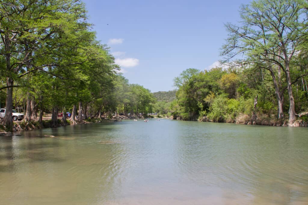

Lake Somerville State Park sits on Somerville Lake between Austin and Houston, split into the Birch Creek Unit near Somerville in Burleson County and the Nails Creek Unit near Ledbetter in Lee County. It’s about 1 hour 45 minutes from Austin and best for quiet lakeside camping, horse camping and birding. The two units are a 50-minute drive apart, so put the right one in the GPS.
At a Glance
- Drive time: about 1.75 hrs from Austin, 2.25 from Houston
- Entry fee: $5 adults; 12 and under free
- Hours: 6 a.m. to 10 p.m. daily
- Reservations: day pass advised; busy March to July 4
- Dogs: yes, on a 6-foot leash; not in buildings
- Swimming: yes, lake at both units; no marked swim area
- Camping: hookup, equestrian and primitive sites
- Trailway: two bridges out; units not linked by trail
- Best time: October to April; wildflowers in spring
- Closures: hunts Dec. and Jan.; burn ban since Oct. 21
- Run by: TPWD; Birch Creek (979) 535-7763, Nails Creek (979) 289-2392
On This Page
- Birch Creek or Nails Creek
- Trails and the Lake Somerville Trailway
- Horseback Riding
- Swimming
- Fishing, Boating and Paddling
- Camping
- Birds and Wildlife
- Best Time to Visit
- What Visitors Say
- Getting There
- Know Before You Go
- Nearby Parks
- FAQ
- Sources and Official Links
Birch Creek or Nails Creek
Texas Parks and Wildlife (TPWD) runs Lake Somerville State Park & Trailway as separate units, each with its own entrance, headquarters, phone and reservation listing. Birch Creek is the bigger campground; Nails Creek is smaller and is the main base for horse campers.
- Birch Creek Unit: north shore, near Somerville. 99 water and electric campsites, two boat ramps, a group camp and shadier trails
- Nails Creek Unit: southwest shore, near Ledbetter. 20 water and electric sites, 30 equestrian sites, a group hall and a stocked kids fishing pond
- Lake Somerville Trailway: a 13-mile multi-use trail between the units, cut by two washed-out bridges since May 2024
A fourth unit, Somerville Public Hunting Land, is for permit hunters. By road, Birch Creek and Nails Creek are about 22 miles apart. TPWD doesn’t say whether one day’s entry covers both, so ask at headquarters.
Trails and the Lake Somerville Trailway
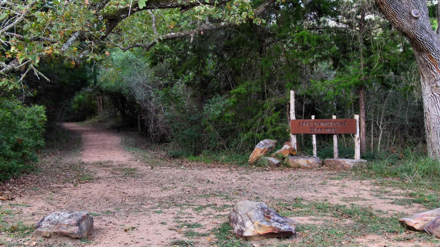
Lake Somerville State Park has nearly 40 miles of trails, according to TPWD, all open to hikers and mountain bikers. Most unit trails are short, flat loops. The 13-mile Lake Somerville Trailway was built to link Birch Creek and Nails Creek, but it can’t be hiked end to end right now.
Trailway Status
Two Trailway bridges washed out in 2024, one over Nails Creek and one over Yegua Creek near the Newman Bottom parking area. TPWD’s alert, posted May 1, 2024, was still up in October 2026 and asks visitors to call either headquarters before heading out.
- From Birch Creek, the Trailway is open about 7 miles one way, to the Newman Bottom bridge
- TPW Magazine reported in 2022 that riders had not been able to connect the two units since a 2015 flood
- There is no drinking water on the Trailway, only chemical toilets and well water for horses
- Get a trail permit at either headquarters before setting out
Birch Creek Trails
| Trail | Miles | Difficulty |
|---|---|---|
| Bluestem Bend Trail (lake views) | 1.0 | Easy |
| Bucktail Run | 0.7 | Easy |
| Cardinal Bend | 0.6 | Easy |
| Eagle Point Trail (bald eagle sightings) | 0.4 | Easy |
| Honeybee Hill Trail (hard-packed, links to the Trailway) | 0.4 | Easy |
| Beautyberry Trail | 0.9 | Moderate |
| Sunset Trail | 0.9 | Moderate |
| Wilderness Run | 1.3 | Moderate |
Nails Creek Trails
| Trail | Miles | Difficulty |
|---|---|---|
| Lake Shore Trail | 0.7 | Easy |
| Nails Creek Loop | 0.8 | Easy |
| Overlook Trail | 0.7 | Easy |
| Pelican Point Trail (to the shore) | 0.5 | Easy |
| Cedar Creek Loop | 1.7 | Moderate |
Trailway Loops
| Trail | Miles | Difficulty |
|---|---|---|
| Flag Pond Loop (closed mornings in duck season) | 1.7 | Easy |
| Alligator Loop (fishing on Yegua Creek) | 1.5 | Moderate |
| Gerdes Spur (old ranch road) | 1.7 | Moderate |
| Sandy Slough Trail (primitive) | 2.1 | Moderate |
| Lake Somerville Trailway (bridges out) | 13.4 | Challenging |
Miles and ratings as TPWD lists them. The park maps also show a few short trails with no listed distance.
Trail Tips
Visitors repeat the same few tips about the trails at Lake Somerville.
- Shade: Birch Creek trails are shadier than Nails Creek, where much of the land is open
- Signs: several reviewers found the markings weak. Carry a map from headquarters or the interactive trail map
- Biking: reviewers call the riding basic but fun: flat dirt paths, not technical singletrack
Horseback Riding
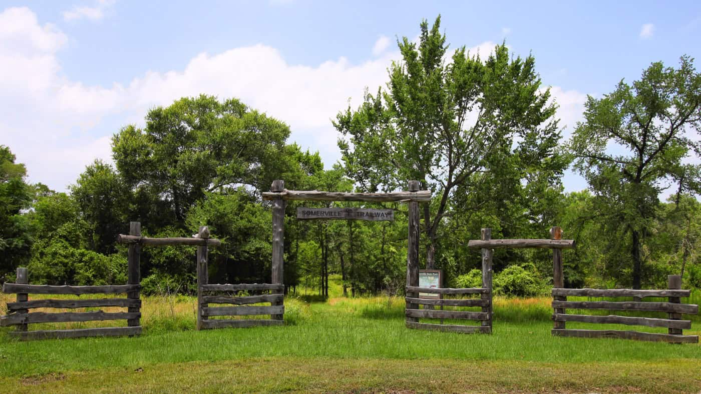
Lake Somerville State Park has 40 equestrian campsites across its two units. Riders bring their own horses; TPWD allows them on the Trailway and on most Nails Creek trails.
- Fees: $3 per horse per day, on top of the entry fee
- Coggins: each horse needs proof of a negative EIA (Coggins) test from the past 12 months. Check in at headquarters on arrival
- Birch Creek: the unit’s reservation listing allows horses on the Trailway only, not the unit trails
- Trailer parking: equestrian parking for the Trailway is at the access gates on CR 125 and CR 140. Newman Bottom parking doesn’t allow trailers
- Water for horses: non-potable well water at Newman Bottom and Wolf Pond; riders carry their own drinking water
With the bridges out, plan rides as out-and-backs from one unit.
Swimming
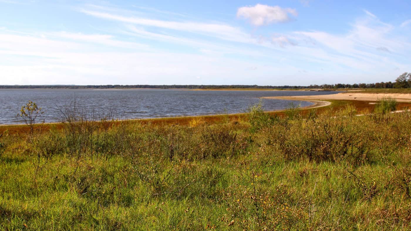
Swimming is allowed in Somerville Lake at both units of Lake Somerville State Park, according to TPWD. Neither unit’s park map marks a swim beach or swim area, and no lifeguards are listed.
- Reviewers describe small sandy beaches at Birch Creek that kids enjoy, and point swimmers to the fishing jetty and Yaupon loop area
- The Nails Creek shoreline is rockier, with less easy water access for swimmers and dogs
- Some shorelines turn marshy or muddy when the lake drops. Water shoes help
- Swimmers reported clean, clear water in summer 2026
The lake rises and falls with rain. It was about 2 feet below normal at the end of October 2026, so beaches sit farther from campsites in dry spells.
Fishing, Boating and Paddling
Somerville Lake, a U.S. Army Corps of Engineers reservoir on Yegua Creek, covers about 11,456 acres and reaches 38 feet deep, according to TPWD Inland Fisheries. Both units have boat ramps and shore fishing.
- Fish: hybrid striped bass, largemouth and white bass, crappie and catfish. Anglers on Reddit recommend the rocks, shoals and tire reefs
- Licenses: no fishing license is needed to fish from the shore or a pier inside the park. Fishing from a boat needs one
- Loaner gear: both headquarters lend fishing gear
- Kids fishing pond: Nails Creek has a stocked pond for bass and catfish, pole and line only, 5 fish a day
- Birch Creek pier: closed for damage since February 2024
- Boat ramps: two 2-lane ramps at Birch Creek and one at Nails Creek
Lake Level and Ramps
Low water is the main boating problem. TPWD warned that most boats couldn’t launch at the Nails Creek ramp in October 2024 and 2025, then closed it from December 2025 into spring 2026. On October 30, 2026, the lake stood about 2 feet below its normal level, close to where those warnings started. Check the current lake level and call before towing a boat.
Paddling
The park no longer rents watercraft, so bring a kayak or canoe. Paddlers like the coves near the Nails Creek group hall on windy days and Yegua Creek for river otters.
Camping
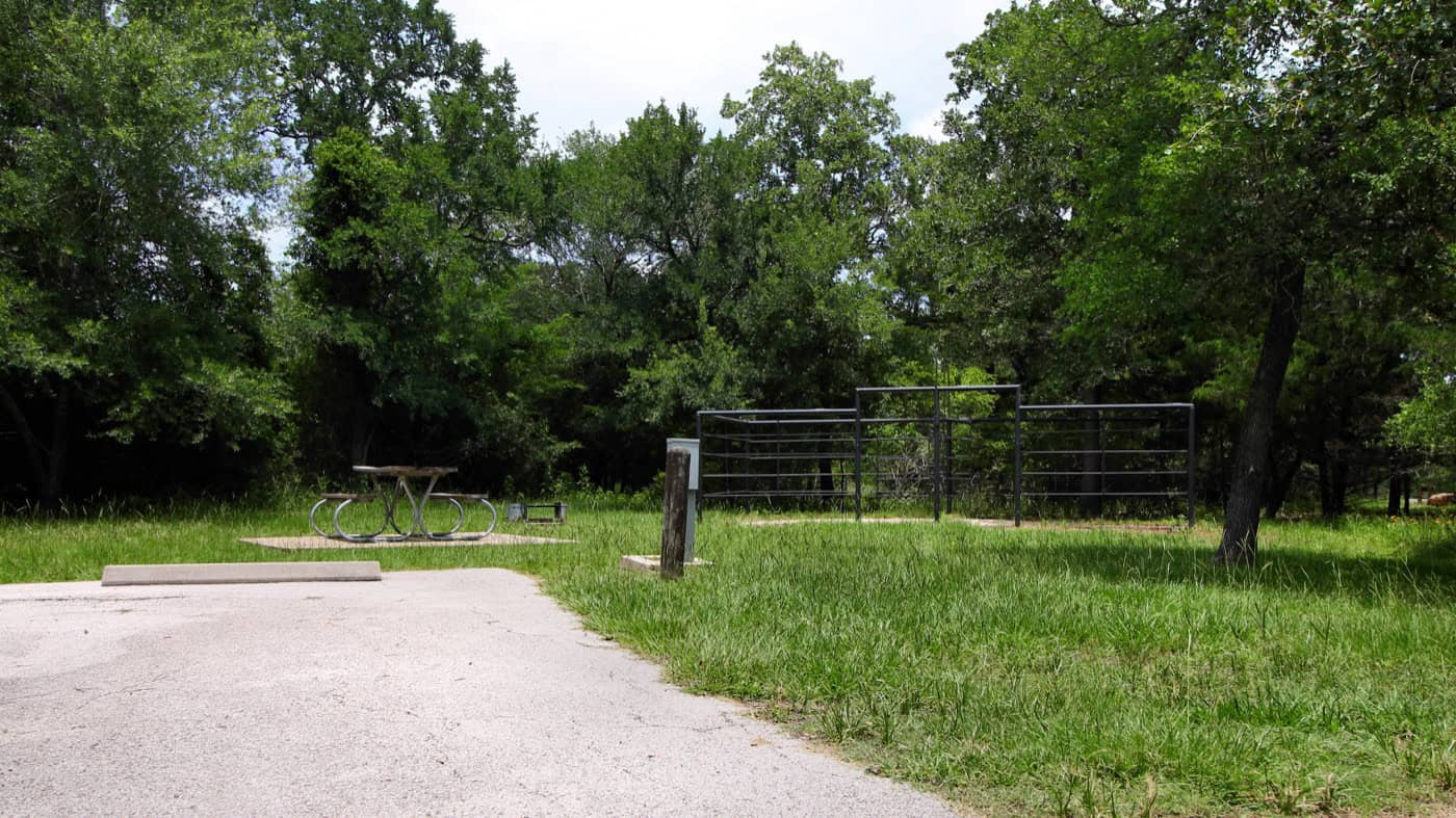
Most camping at Lake Somerville State Park is at drive-up sites with water and electricity, plus water-only equestrian sites and a few primitive camps along the Trailway. There are no cabins, screened shelters or sewer hookups, but both units have restrooms with showers and dump stations.
Campsite Types
Prices are TPWD’s nightly rates, plus the daily entry fee. TPWD lists more sites than the reservation site books online, so call if a loop looks full.
- Birch Creek water and electric (99 sites, $20): Yaupon loop (sites 1–30), Post Oak (31–60) and Old Hickory (61–101). 21 sites have 50-amp hookups. The reservation site books 89 of them online
- Nails Creek water and electric (20 sites, $20): Cedar Creek area, sites 41–60
- Nails Creek equestrian with electricity (20 sites, $20): Bent Tree area, sites 21–40, with water, 30-amp power and horse pens nearby
- Equestrian with water (20 sites, $12): sites 1–10 at Nails Creek with corrals, and 104–113 at Birch Creek. Campers without horses can use them
- Trailway primitive camps: Flag Pond (1 site, $10), Wolf Pond group camp ($20, up to 16 people, walk-up only) and Newman Bottom group camp ($30, up to 24 people). No drinking water at any of them
- Groups: Birch Creek’s group camp has a dining hall and 20 campsites; Nails Creek’s group hall seats 49
A primitive site is a campsite with no water or hookups, reached on foot. With the bridges out, call to check which Trailway camps can be reached. Electric sites drop to $120 a week from December through February.
Reservations and Camp Rules
Sites go fast from the first weekend in March through the Fourth of July and on holiday weekends.
- Campsites open for booking 5 months ahead; group facilities 12 months ahead, by phone at (512) 389-8920
- Check-in is 2 p.m. and check-out is noon. Up to 8 people and 2 vehicles per site
- Neither unit has a gate code. Birch Creek campers arriving late should call before 5 p.m. for self-pay instructions; Nails Creek posts them on the office door
- Quiet hours run 10 p.m. to 6 a.m., and reviewers say rangers enforce them
Campers single out privacy: sites are screened by brush, and many fit big rigs. The Yaupon loop at Birch Creek gets the best lake views. Some pads are short or uneven.
Birds and Wildlife
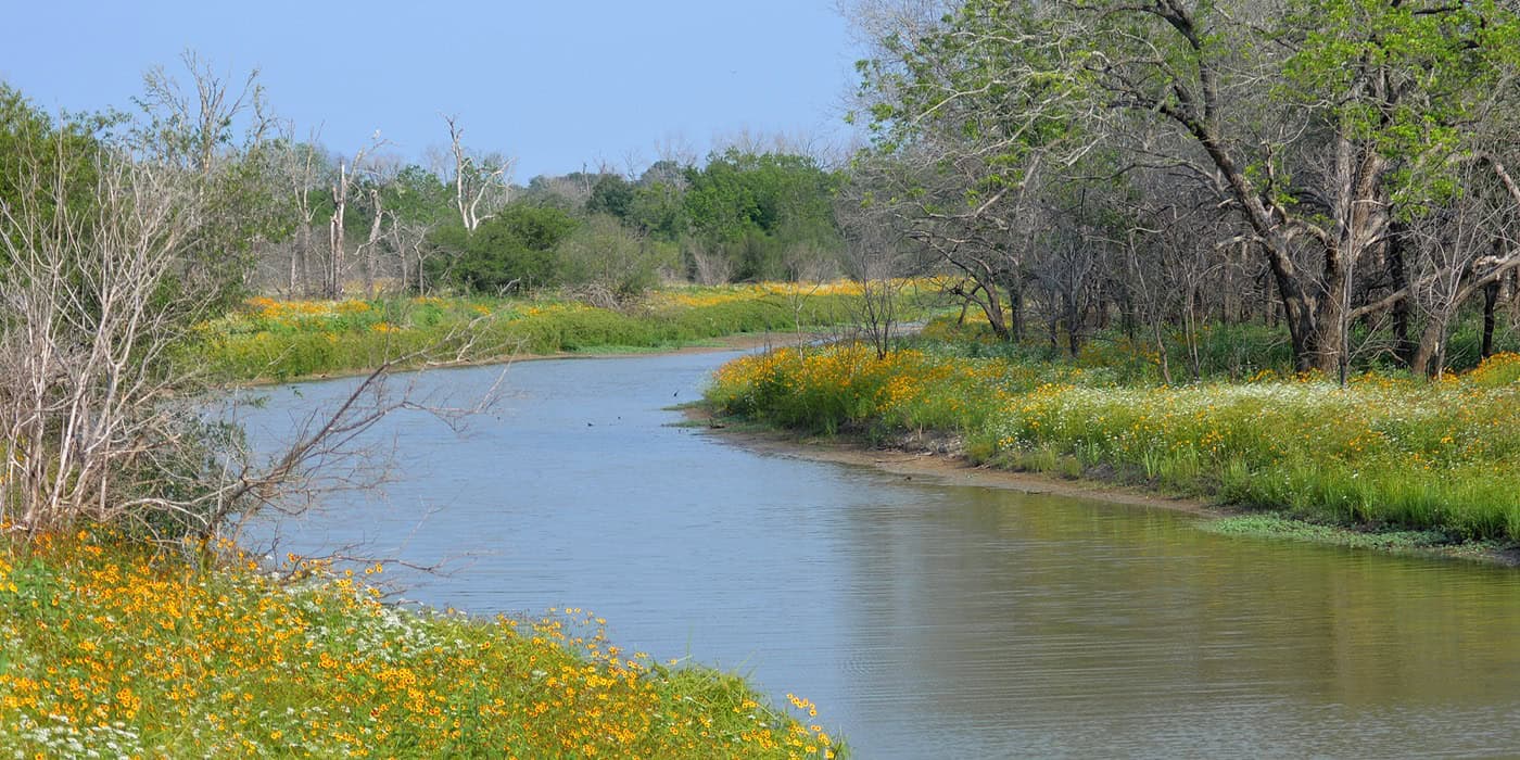
Lake Somerville State Park is a strong birding park, with a TPWD bird checklist and Flag Pond, a 350-acre wetland on the Trailway managed for migrating birds and wintering waterfowl. One Reddit birder called it the most underrated birding spot in Texas.
- Birds: American white pelicans gather off Pelican Point at Nails Creek, and bald eagles are seen from Eagle Point at Birch Creek. Visitors also report herons, ducks and red-shouldered hawks
- Mammals TPWD lists: white-tailed deer, foxes, coyotes, bobcats, river otters, raccoons and rabbits
- Alligators: on the TPWD wildlife list; a few reviewers reported seeing one. Keep dogs back from the water
- Raccoons: the most common camp pest in reviews. Lock food and trash in a vehicle at night
Best Time to Visit
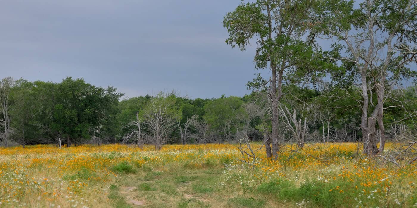
Fall through spring is the best time at Lake Somerville State Park, with mild weather for the open trails. Spring is also the busy season, so book ahead from March to early July.
- Spring (March to May): wildflowers, white pelicans and the fullest campgrounds. Spring break weekends fill early
- Summer (June to August): July highs average 95°F and many trails have little shade. Swim, paddle and hike early
- Fall (September to November): September and October are the wettest months. The lake often runs low in fall, which can close the Nails Creek ramp
- Winter (December to February): January lows average 48°F, weekly camping rates drop, and wintering ducks and eagles arrive. Check the hunt closure dates first
What Visitors Say
Lake Somerville State Park averages 4.7 stars across 455 Google reviews from late October 2024 to October 2026, spread over six Google listings for the two units. Most reviewers call it quiet and clean, and the complaints are consistent.
- Quiet: the most repeated praise. Even full weekends are calm by 8 p.m.
- Restrooms: “clean” is the most common word in the reviews. The newer restrooms by the Nails Creek boat ramp get the best marks; a few older ones drew complaints
- Staff: rangers and hosts get steady praise, but the phone often goes unanswered after hours
- Low water: the lake ran low through much of 2025 and early 2026, closing ramps and leaving “waterside” sites far from the water
- Bugs: fire ants, mosquitoes, gnats and grass burrs
- Roads in: bumpy county roads on the last stretch, partly gravel
Getting There
Lake Somerville State Park sits on the Presidential Corridor between Austin and College Station. Each unit has its own entrance, so set the GPS to the Birch Creek Unit or the Nails Creek Unit, not just the lake.
- Birch Creek: 14222 Park Road 57, Somerville. From Houston, take US 290 to Brenham, SH 36 north to Lyons, FM 60 west about 8 miles, then Park Road 57
- Nails Creek: 6280 FM 180, Ledbetter. From Austin, take US 290 east past Giddings, then FM 180 north about 13 miles
Drive times:
- Austin: about 1 hour 45 minutes
- Houston: about 2 hours 10 minutes
- College Station: about 50 minutes to Birch Creek
- San Antonio: about 3 hours
- Dallas: about 3 hours 45 minutes
A few things to know before driving out:
- Low bridge: the FM 60 bridge just before Deanville has 13 feet 4 inches of clearance, which matters for tall RVs
- Arrive early: TPWD doesn’t publish office hours, and late-afternoon arrivals have found headquarters closed. Call ahead for after-hours check-in
Know Before You Go
Lake Somerville State Park is spread out, often low on water in fall and hot in summer. These fees, rules and tips matter most.
- Fees and passes: $5 a day for adults 13 and older; children 12 and under get in free; $3 per horse. The Texas State Parks Pass covers entry. Confirm current fees on the TPWD fees page
- Booking: TPWD says the park often reaches capacity and recommends reserving day passes (up to 1 month ahead) and campsites (up to 5 months ahead) online or at (512) 389-8900
- Hours: open 6 a.m. to 10 p.m. daily. Office hours are not published
- Hunt closures: for 2026–27, Birch Creek closes Dec. 1–4 and Jan. 5–8, Nails Creek Jan. 12–15, and the Trailway Dec. 4–6 and Jan. 8–10, each from 4 p.m. the first day. Flag Pond Loop and Waldo’s Loop close sunrise to noon in duck season
- Closed facilities: the Birch Creek fishing pier and group picnic pavilions
- Fires: burn ban at both units since October 21, 2026: charcoal in enclosed grills and fuel stoves only. Otherwise fires stay in the fire rings, and gathering firewood is not allowed
- Dogs: leashes 6 feet or shorter, never unattended, and not inside park buildings
- Alcohol: public drinking or display of alcohol is against park rules
- Cell signal: reviewers report none at Nails Creek. Download maps before arriving
- What to bring: drinking water, closed shoes for fire ants and burrs, bug spray, water shoes and a sealed food box for raccoons
Check conditions first: lake levels, boat ramps, burn bans and the Trailway bridges change, and hunts close each unit on set dates. Check the Lake Somerville park alerts page or call Birch Creek at (979) 535-7763 or Nails Creek at (979) 289-2392 before driving out.
Nearby Parks
Four other TrekTexas guides are within about 2 hours of Lake Somerville State Park.
- Bastrop State Park: about 47 miles west of Nails Creek, in the Lost Pines, with cabins built by the Civilian Conservation Corps
- Buescher State Park: about 48 miles southwest of Nails Creek, a small lake and quiet campground near Smithville
- Stephen F. Austin State Park: about 60 miles southeast, on the Brazos River at San Felipe
- Huntsville State Park: about 93 miles east of Birch Creek, with pine forest trails around Lake Raven
- More parks within reach: Parks Near Houston and Parks Near Austin
FAQ
Are there alligators in Lake Somerville?
Yes. TPWD lists the American alligator among the park’s wildlife, and a few visitors report seeing them, though most swim without trouble.
How deep is Somerville Lake?
Its maximum depth is 38 feet, according to TPWD Inland Fisheries.
Are there cabins at Lake Somerville State Park?
No. The park has campsites, equestrian sites, primitive camps and group facilities, but no cabins or screened shelters.
What other parks are on Somerville Lake?
The Corps of Engineers runs Rocky Creek Park and Yegua Creek Park, both with boat ramps, and Big Creek Park has a privately run ramp. Welch Park and Overlook Park also give lake access. They aren’t part of the state park, so their operators set their own fees and rules; the Corps office is at (979) 596-1622.
Sources and Official Links
Facts in this guide were last checked in October 2026 against these sources.
- Lake Somerville State Park & Trailway (TPWD)
- Entrance fees and campsites (TPWD)
- Trail list, Trailway, and park maps for Birch Creek (PDF) and Nails Creek (PDF) (TPWD)
- Park alerts (TPWD)
- Wildlife and Somerville Lake fishing (TPWD)
- Reservations: Birch Creek and Nails Creek (Texas State Parks)
- Somerville Lake level (Water Data for Texas)
Featured photo: Larry D. Moore, Wikimedia Commons (CC BY 4.0)
Get More Texas Outdoor Adventure Tips
Subscribe to get more places to explore in the great outdoors of Texas. We’ll never share your email. Unsubscribe any time.