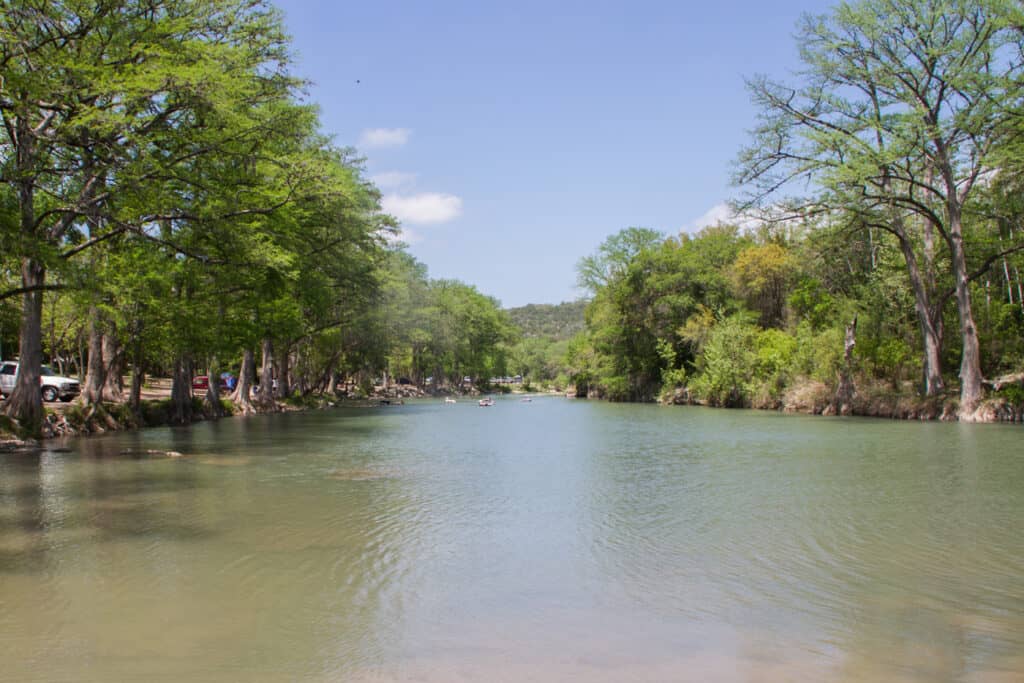
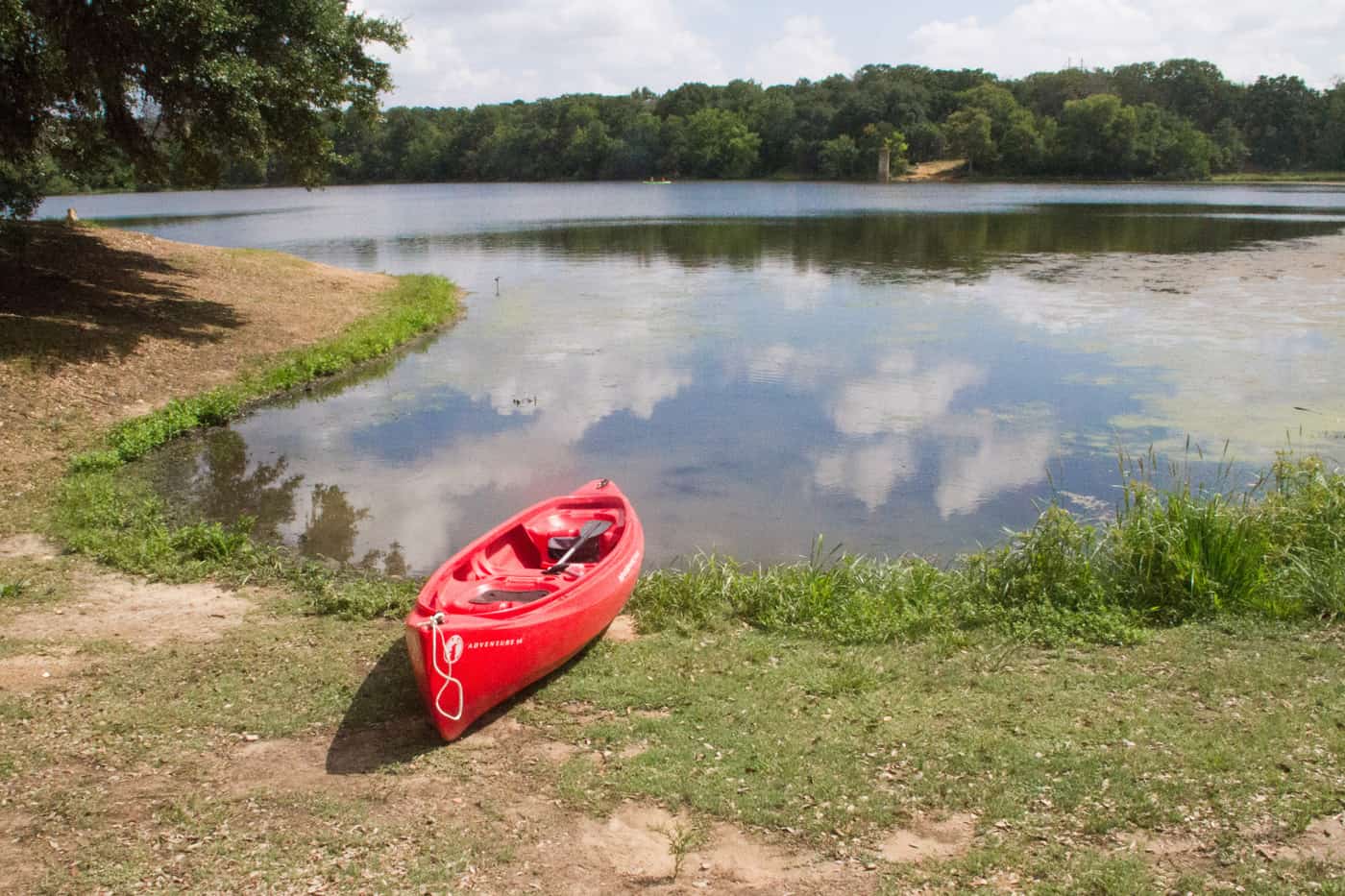
Buescher State Park (pronounced “BISH-er”) sits 2 miles northwest of Smithville in Bastrop County, about 50 minutes southeast of Austin, at the eastern edge of the Lost Pines. It is the smaller, quieter partner to Bastrop State Park, 12 miles away on Park Road 1C, with about 6 miles of trails and a small fishing lake where swimming isn’t allowed. The lake runs low in 2026, so check alerts before paddling.
At a Glance
- Drive time: about 50 min from Austin, 2 hrs from San Antonio
- Entry fee: $5 adults; 12 and under free
- Hours: 6 a.m. to 10 p.m. daily
- Reservations: day pass advised on weekends and holidays
- Dogs: yes, on a 6-foot leash; not in cabins
- Swimming: no; the lake is for fishing and paddling
- Camping: 57 sites, 3 cabins, 4 screened shelters
- Best time: October to April; winter for trout
- Low lake: Lake level low (June 2026 alert)
- Cell signal: spotty; download maps first
- Run by: TPWD, (512) 237-2241
On This Page
- Park Road 1C and Bastrop State Park
- Hiking and Mountain Biking Trails
- Fishing and Paddling the Lake
- Camping, Cabins and Screened Shelters
- Lost Pines, CCC History and Wildlife
- Best Time to Visit
- What Visitors Say
- Getting There
- Know Before You Go
- Nearby Parks
- FAQ
- Sources and Official Links
Park Road 1C and Bastrop State Park
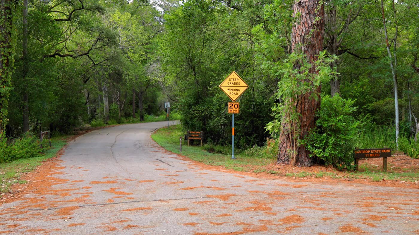
Park Road 1C links Buescher and Bastrop state parks through the loblolly pines. Texas Parks and Wildlife (TPWD) lists it as a hilly 12-mile road with a 30 mph limit, shared by cars and bikes; a road sign inside Buescher says 11 miles.
The two parks work as a pair. The 2011 wildfire affected more than 90% of Bastrop State Park but skirted Buescher’s boundary. Bastrop is the bigger name; Buescher is smaller and calmer, so many visitors camp here and drive over to Bastrop for the day.
- Driving: at 30 mph the park road takes at least 25 minutes. The quickest route between the two headquarters is State Highway 71, about 11 miles and about 15 minutes
- Cycling: road riders know it for short, steep climbs and tight curves; one 2025 rider logged about 750 feet of climbing one way. Traffic is usually light. Check gears before the first hill
- Scenic overlook: TPWD marks an overlook on the park road inside Buescher
- Closures: none was posted on either park’s alerts page on October 27, 2026, but the road does close at times (one visitor found it shut in January 2026). Check the Buescher alerts page before planning the ride
Hiking and Mountain Biking Trails
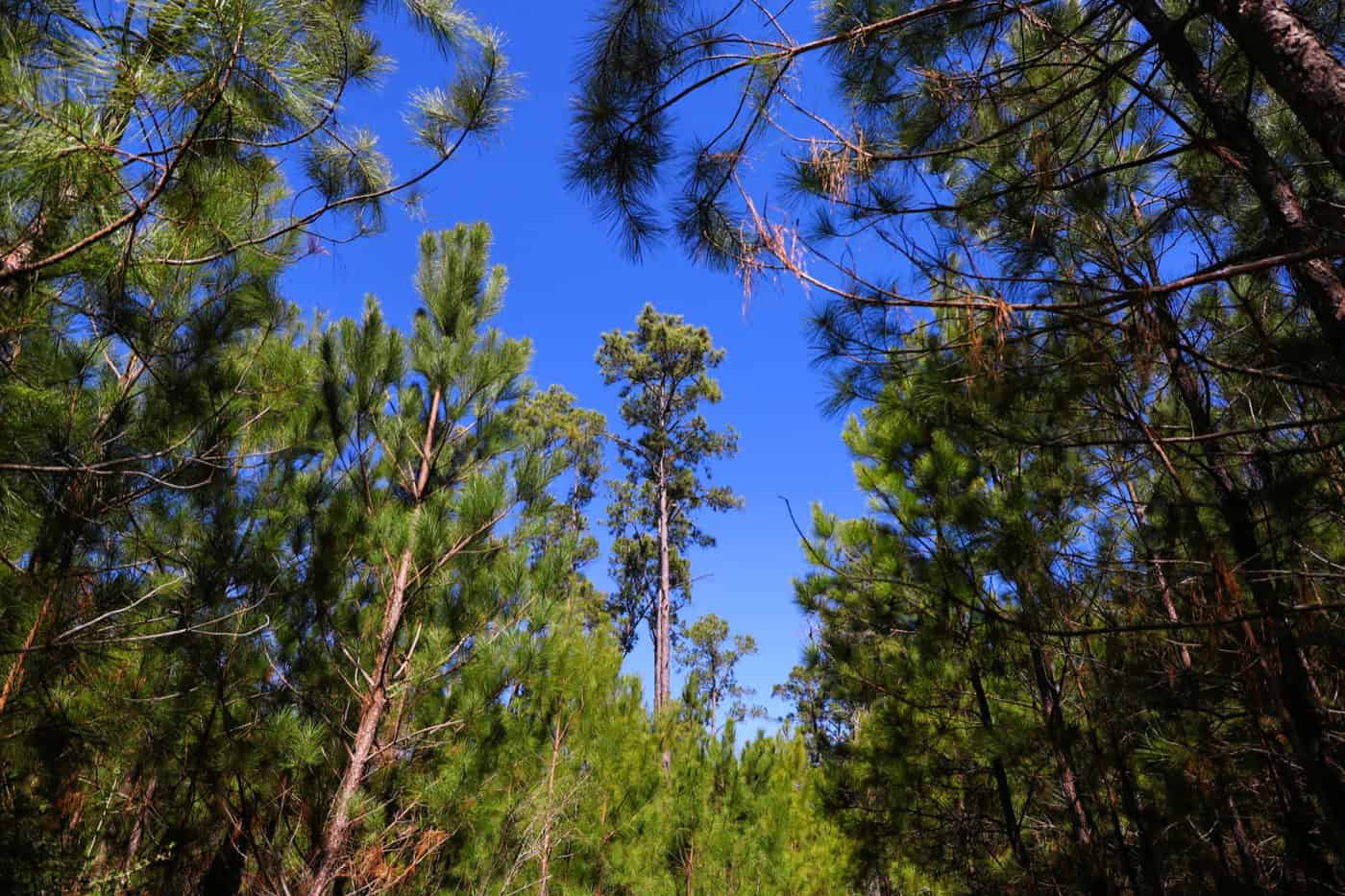
Buescher State Park has six trails totaling about 6 miles (TPWD’s trail list adds up to 6.2). Most of the mileage is on Pine Gulch, a hilly loop under loblolly pines in the park’s northern half.
| Trail | Miles | Difficulty |
|---|---|---|
| Barred Owl Path (links two sides of Pine Gulch) | 0.1 | Easy |
| Big Tree Retreat (hiking only) | 0.03 | Easy |
| CCC Crossover (hiking only) | 0.1 | Easy |
| Roosevelt’s Cutoff (shaded creek bed) | 0.5 | Moderate |
| Winding Woodland Trail (oak and cedar shade) | 1.5 one way | Moderate |
| Pine Gulch Trail (steep hills) | 4.0 | Challenging |
Miles as TPWD lists them. TPWD’s trail page calls Pine Gulch 4 miles one way; the park map shows a 4-mile round-trip loop.
Trail Tips
A few things help on the Buescher trails.
- Longest hike: Winding Woodland out and back plus the Pine Gulch loop, about 7 miles. Winding Woodland runs from the Lakeview area north to Pine Gulch
- Fire history: the 2015 Hidden Pines fire burned much of the pine forest, and Pine Gulch still shows the fire’s remains next to young pines growing back
- Short side trails: CCC Crossover has a stone bridge, rock walls and stairs built by the Civilian Conservation Corps. Big Tree Retreat is a short spur to a former state champion cedar elm. Roosevelt’s Cutoff follows a shaded creek bed across the Pine Gulch loop
- Bikes: mountain bikes are allowed on every trail except CCC Crossover and Big Tree Retreat. Riders yield to hikers and wear helmets, and reviewers say the riding isn’t for beginners
- Water: there’s no water on the trails; TPWD advises a quart per hour
- Hazards: trails can close after heavy rain, and falling trees and stump holes are a hazard in the burned sections
- Maps: paper maps are free at headquarters
Fishing and Paddling the Lake
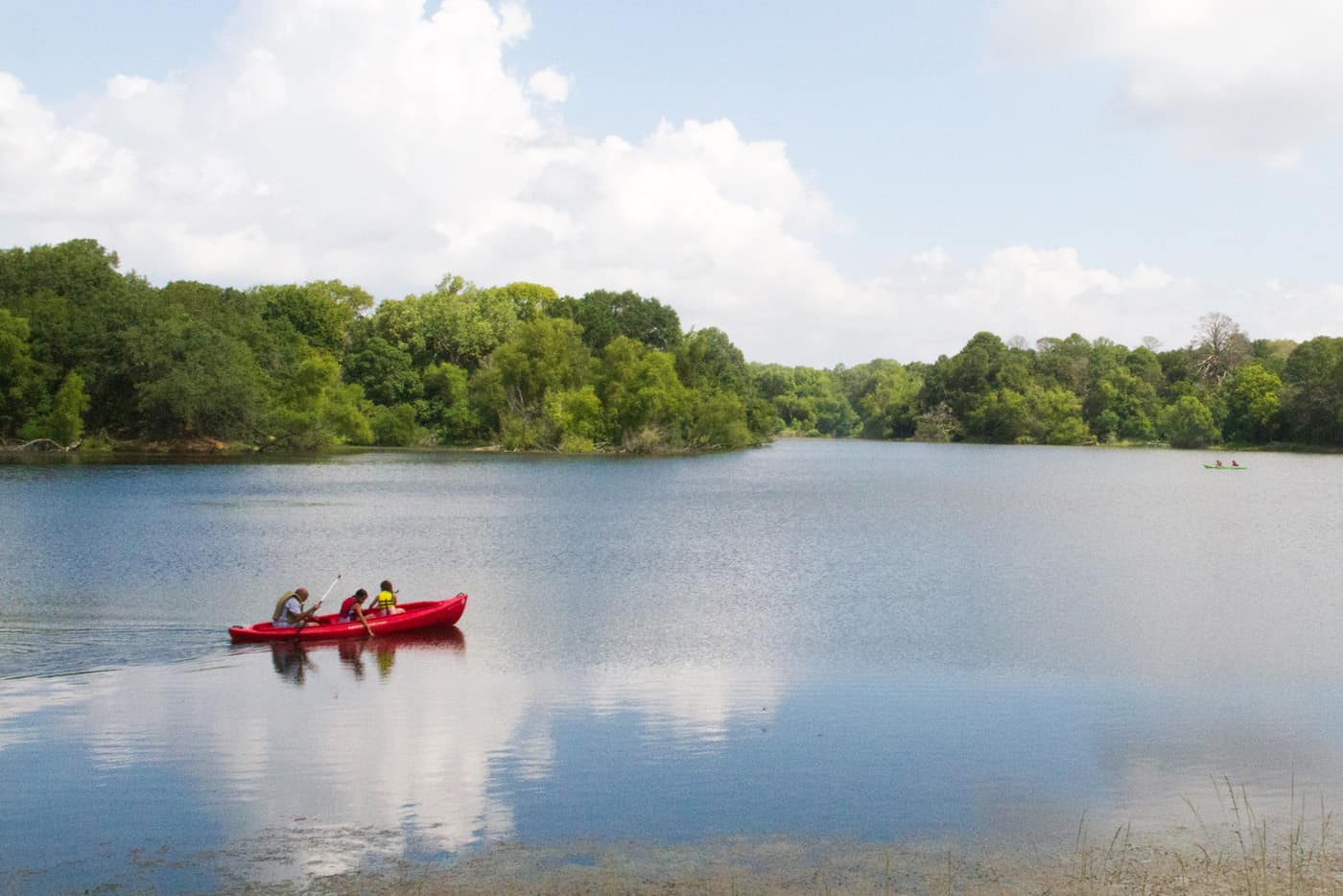
The lake at Buescher State Park is small (TPWD lists it at 25 to 30 acres) and built for fishing. It’s a Community Fishing Lake, so no fishing license is needed, and headquarters lends tackle. Swimming isn’t allowed.
Low Water in 2026
TPWD posted a low lake level alert on June 22, 2026: the lake can’t be seen or reached from the cabins or the Oak Haven and Lakeview campgrounds, but fishing is open at the day-use picnic area and canoe launch. Visitors have described it as low since early 2025, after the CCC-era dam and spillway were rebuilt. An October 2026 reviewer found it too low for boating but still fine for fishing.
Fishing Rules
TPWD sets these rules for the lake.
- Pole and line only, two poles per angler
- Daily bag of 5 fish, all species combined, with only 1 black bass of at least 14 inches
- Fish from shore or from small boats with paddles or an electric motor
- Catfish, bass, crappie and sunfish year-round; rainbow trout in winter (1,000 stocked on December 7, 2025)
- Two stone fishing terraces were added during the dam rebuild
Paddling: the park map shows watercraft rentals at the canoe launch. TPWD doesn’t publish prices or hours, and low water limits paddling now, so ask at headquarters first.
Camping, Cabins and Screened Shelters
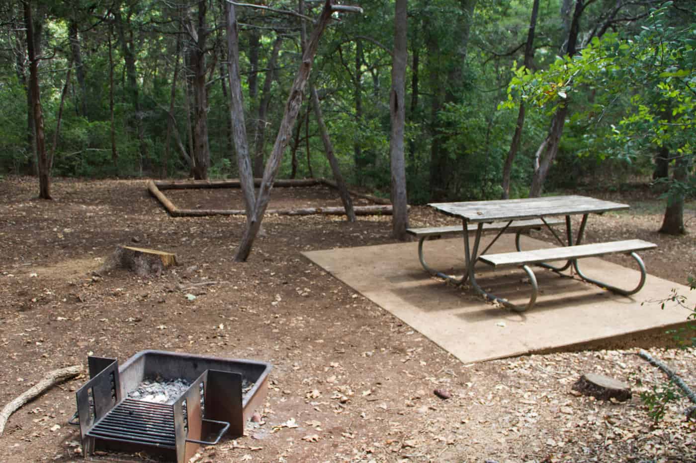
Buescher State Park has 57 campsites, 3 cabins and 4 screened shelters, spread over three small loops shaded by oaks and pines. Reviewers often single out the clean restrooms.
Campsite Types
Prices are TPWD’s nightly rates, plus the daily entry fee.
- Electric sites (32 sites, $18): in Cozy Circle (#1–14) and Oak Haven (#15–32). Water, 20/30-amp electric, back-in pads, picnic table and fire ring; restrooms with showers nearby. No sewer hookups; there’s a dump station
- Tent sites with water (20 sites, $15): in Lakeview (#41–60). Sites #56–60 are walk-in sites, meaning a tent site 10 to 60 yards from parking
- Primitive walk-in sites (5 sites, $15): #61–65. Here “primitive” means a table, tent pad and fire ring with no water or electricity at the site; restrooms are nearby. TPWD lists them as first come, first served
- Cabins (3 cabins, $85): no bathrooms inside. Each sleeps four on two sets of twin bunks, with A/C, heat, a microwave, a refrigerator and an outdoor grill. Bring linens; no pets
- Screened shelters (4 shelters, $25 to $45): 2 standard ($25) and 2 premium ($45, with a ceiling fan and patio), all with electricity and water. No pets inside
- Groups: a CCC-built group hall with kitchen ($250, up to 80 people) and a stone pavilion ($40, booked with at least three Lakeview sites)
Reservations and Camp Rules
Campsites, cabins and shelters book through Texas State Parks.
- Campsites, cabins and shelters open 5 months ahead on the Texas State Parks reservation site
- A Friday or Saturday stay must include both nights, and holiday weekends need 3 nights
- Check-in is 2 p.m. (cabins 3 p.m.)
- RVs: every electric pad is back-in, from 16 to 65 feet long on the reservation site. Cozy Circle has the longer pads; most Oak Haven pads run 16 to 38 feet, and several reviewers found the sites tight for big rigs
Lost Pines, CCC History and Wildlife
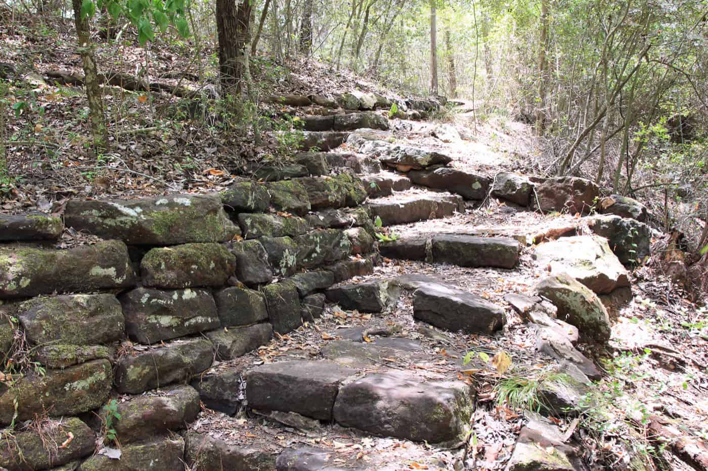
The Lost Pines are the westernmost stand of loblolly pine in the United States, about 100 miles from the East Texas Piney Woods. At Buescher State Park the pines cover the northern half of the park; oaks and cedar elms shade the lake area.
- History: the park is named for Emil and Elizabeth Buescher, who donated the first land in the 1930s. Civilian Conservation Corps Company 1811 built the lake, dam, group hall and stone pavilion, and the park opened in 1940
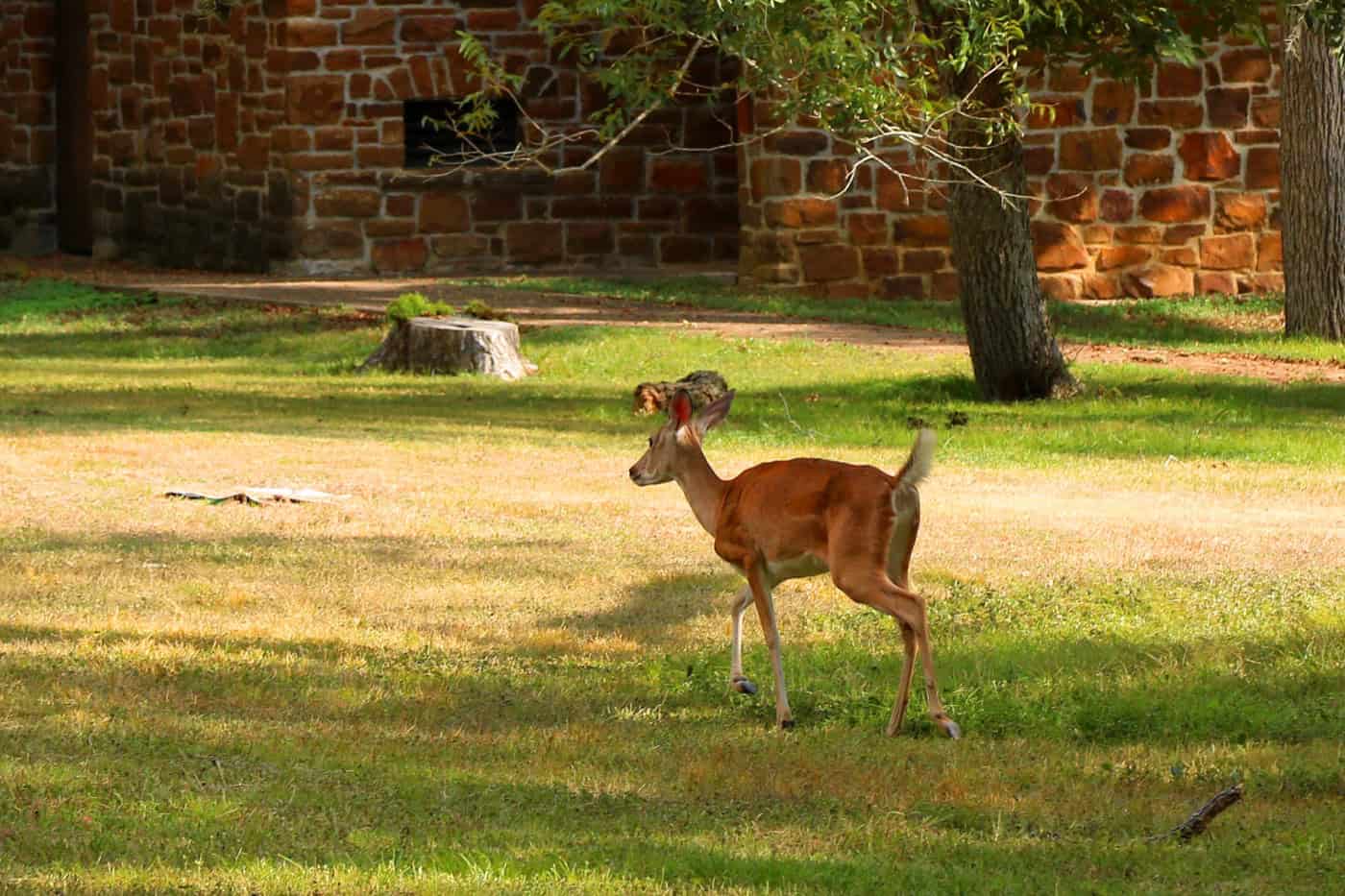
- Wildlife: about 250 bird species, including pileated woodpeckers, plus white-tailed deer, raccoons, armadillos and bobcats
- Houston toad: the Lost Pines hold the largest remaining population of this endangered toad, and TPWD counts Buescher as significant habitat
Best Time to Visit
October to April is the best time to hike at Buescher State Park, since July highs average 96°F. Winter adds stocked rainbow trout, and TPWD recommends a day pass on weekends and holidays all year.
- Fall (October to November): cooler hiking weather. Prescribed burns from October to March can close parts of the park, and a burn ban has been in place since October 19, 2026
- Winter (December to February): January lows average 38°F. TPWD stocks rainbow trout in the lake (1,000 on December 7, 2025)
- Spring (March to April): the last of the cooler hiking months before summer heat
- Summer (May to September): July highs average 96°F. Pines and oaks shade most trails and campsites, swimming isn’t allowed, and the nearest state park pool is at Bastrop State Park
What Visitors Say
Buescher State Park holds a 4.6 rating from about 1,180 Google reviews, and the 213 posted since late 2024 average 4.7.
- Quiet: the top theme. More than 20 recent reviews call it quiet, peaceful or uncrowded, and one 2026 reviewer prefers it to Bastrop. Weekends get busier, and one camper complained about music past quiet hours
- Restrooms and staff: clean restrooms and friendly staff come up in about 18 reviews each
- The park road: a favorite, by car, bike or motorcycle
- Deer: they show up in the open clearings at dawn and dusk
- The lake: the main complaint. It is low, with muddy edges, in nearly every mention since early 2025
- Highway noise: State Highway 71 noise carries into parts of the park
- Small park: a few visitors found little to do beyond hiking, fishing and the drive
- Supplies: Smithville’s grocery stores are under 10 minutes away
Getting There
Buescher State Park is 2 miles northwest of Smithville in Bastrop County. From State Highway 71, take FM 153 north for 0.5 mile to Park Road 1 and the park entrance.
Drive times to park headquarters:
- Austin: about 50 minutes
- San Antonio: about 2 hours
- Houston: about 2 hours 15 minutes
- Dallas: about 4 hours
A few things to know before driving out:
- From Bastrop State Park: State Highway 71 is the quick route; Park Road 1C is the slow, hilly one
- Maps: cell signal is spotty, so download maps before arriving
Know Before You Go
Buescher State Park is small and shaded. These fees, rules and tips matter most.
- Fees and passes: $5 a day for adults 13 and older; children 12 and under get in free. The Texas State Parks Pass ($70 a year) covers entry
- Booking: day passes open 1 month ahead, and TPWD recommends one, especially on weekends and holidays. Campsites, cabins and shelters open 5 months ahead, online or at (512) 389-8900
- Hours: the park is open 6 a.m. to 10 p.m. daily; the office is open 8 a.m. to 4:30 p.m.
- Dogs: 6-foot leash, trails included, never left unattended; not in cabins, screened shelters or buildings
- Water and shade: no drinking water on the trails. Pines and oaks shade most trails and campsites
- Difficulty: Pine Gulch is challenging; the other trails are easy to moderate
- Fires: burn ban since October 19, 2026 (no wood fires). Prescribed burns from October to March can close parts of the park
- Maps: park map and trails map (TPWD PDFs)
- What to bring: a quart of water per hour on the trails, linens for the cabins and offline maps
Check conditions first: the lake level, burn bans, prescribed burns and Park Road 1C closures all change. Check the Buescher park alerts page or call (512) 237-2241 before driving out.
Nearby Parks
Four other TrekTexas guides are within about an hour of Buescher State Park.
- Bastrop State Park: 12 miles away on Park Road 1C, with a seasonal swimming pool
- McKinney Falls State Park: about 50 minutes west in southeast Austin, with swimming in Onion Creek
- Lockhart State Park: about 1 hour southwest, with a summer pool
- Palmetto State Park: about 1 hour south, with swimming and paddling in an oxbow lake and the San Marcos River
- More in Parks Near Austin
FAQ
How is Buescher pronounced?
Buescher is pronounced “Bisher,” according to TPWD.
Is there a Buescher State Park trail map?
Yes. TPWD publishes a trails map PDF, and paper maps are free at headquarters.
Do the Buescher cabins have bathrooms?
No. The cabins have no restroom or sink inside; restrooms are nearby.
Sources and Official Links
Facts in this guide were last checked in October 2026 against these sources.
- Buescher State Park (TPWD)
- Entrance fees (TPWD)
- Campsites (TPWD)
- Trail list, park map (PDF) and trails map (PDF) (TPWD)
- Park alerts (TPWD)
- Texas State Parks reservations
Featured photo: Ashton Brown
Get More Texas Outdoor Adventure Tips
Subscribe to get more places to explore in the great outdoors of Texas. We’ll never share your email. Unsubscribe any time.