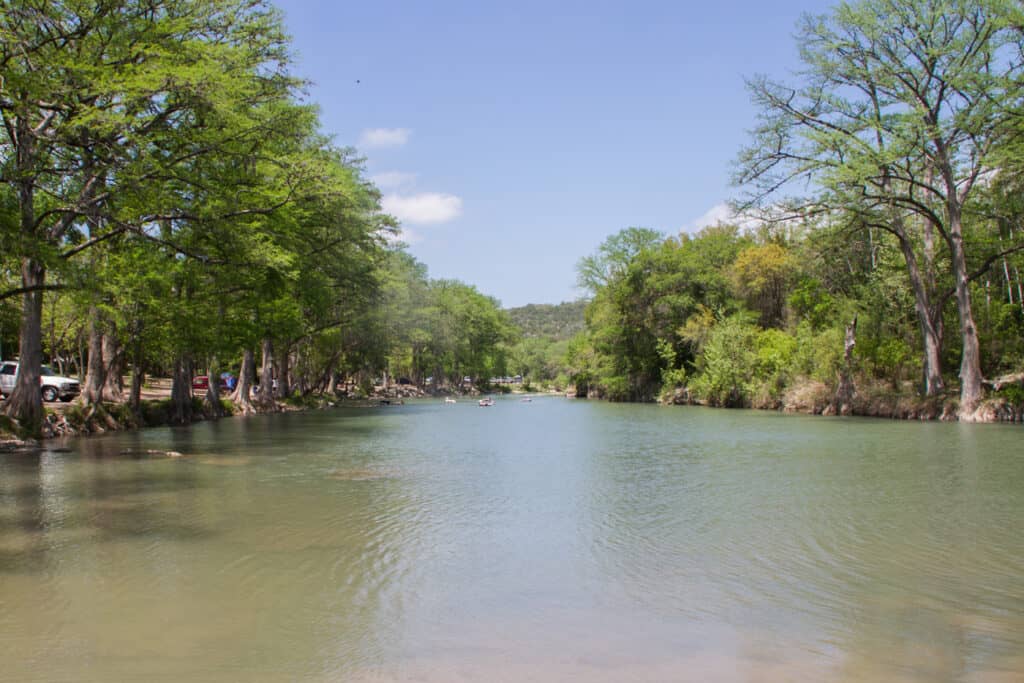

McAllister Park is a 976-acre City of San Antonio park on Salado Creek, on the city’s north side next to San Antonio International Airport, about 20 minutes from downtown. It’s best for trail runs, easy mountain biking, the off-leash dog park and pavilion picnics, and entry is free. Trail signs are sparse, so download the City trail map before heading out.
At a Glance
- Drive time: about 20 min from downtown; 1.5 hrs from Austin
- Entry fee: free; no state parks pass needed
- Hours: 5 a.m. to 11 p.m. daily
- Reservations: none to enter; pavilions bookable
- Dogs: leashed; 2.42-acre off-leash dog park
- Swimming: no swimming area
- Trails: about 15 miles, paved and dirt
- Camping: none, except set holiday nights
- Best time: October to May; summer mornings
- Run by: City of San Antonio, (210) 207-7275
On This Page
- Trails and Hiking
- Mountain Biking
- Salado Creek Greenway
- Dog Park
- Pavilions, Playgrounds and Sports Fields
- Deer and Other Wildlife
- Best Time to Visit
- What Visitors Say
- Getting There
- Know Before You Go
- Nearby Parks
- FAQ
- Sources and Official Links
Trails and Hiking
McAllister Park has about 15 miles of trails: about 5 miles of asphalt and more than 10 miles of natural-surface trail, according to the City of San Antonio. Hikers, runners and mountain bikers share them, and the City publishes no difficulty ratings. The dirt trails are mostly flat and wooded, with short climbs and rocky patches.
| Trail | Miles | Surface |
|---|---|---|
| Blue Loop (the main loop) | 6 | Dirt and asphalt |
| Red Trail | 1.93 | Dirt |
| Red Trail to Blue Loop connector | 0.46 | Dirt and asphalt |
| Mud Creek Loop (paving planned) | 1.5 | Dirt |
| Baseball Field Trail | 1.5 | Asphalt |
| Playground Trail | 1.0 | Asphalt |
| Salado Creek Greenway (inside the park) | 2.4 | Asphalt |
| Dog Park Trail | 0.2 | Asphalt |
Miles for the Blue Loop, Red Trail and connector come from the City’s park page; the rest come from the City’s trail map (PDF), drawn from a 2011 survey. That map lists the Blue Loop at 5.8 miles and the Red Trail at 1.7, and it warns that trails may have changed since.
Trail Tips
A few things make the trails at McAllister Park easier.
- Markings: the dirt trails branch into a web, and signs sit only at key crossings. Load the City map or the MTB Project map on a phone; most loops lead back to a parking lot
- Trailheads: Turkey Roost Pavilion near the Jones Maltsberger Road entrance has a restroom and nine outdoor fitness stations. The Buckhorn Road lot by the dog park is the Salado Creek Greenway trailhead
- Water and restrooms: only at the pavilions and trailheads, not out on the trails. Carry water in warm weather
- Mud: the City closes trails when they’re saturated and asks visitors not to cross trails under water
- After dark: the trails have no lights, and reviewers say the woods get very dark after sunset
- Sharing: bikes yield to walkers and everyone keeps right, per the City. Expect fast riders on weekends
Mountain Biking
McAllister Park is San Antonio’s best-known spot for fast, beginner-friendly singletrack, with little climbing and few technical features. Reviewers call it fun and easy rather than challenging; riders looking for rocky climbs head to Government Canyon instead.
- The Grove: a flow trail that opened March 18, 2026, off Buckhorn Road near the pump track. It runs about the length of two football fields, with a beginner course and a more advanced section (Community Impact)
- Pump track: built in 2022 at the large parking lot by the multipurpose field, easiest to reach from the Buckhorn Road entrance, according to Friends of McAllister Park. Reviewers report a second, larger pump track next to it was open by mid-2026
- Longer rides: the 6-mile Blue Loop is the core ride, and the Red Trail adds about 2 miles. MTB Project riders link loops into a 10.6-mile route they call Fern’s Loop
- Trail care: volunteers with Friends of McAllister Park help maintain the trails. Building or changing trails without the City’s permission is against City code
Salado Creek Greenway
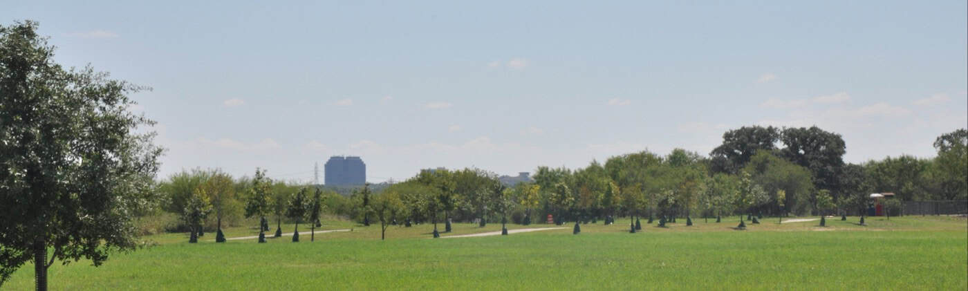
The paved Salado Creek Greenway runs through McAllister Park and ties it into San Antonio’s Howard W. Peak Greenway Trails. The City counts more than 33 miles of paved trail along Salado Creek, with 20 continuous miles from Eisenhower Park to Holbrook Road.
- Trailhead: the McAllister Park Trailhead is on Buckhorn Road, at the dog park lot
- Where it goes: west toward Walker Ranch, Phil Hardberger and Eisenhower parks, and south past LBJ Park toward Rittiman Road
- Hours: the City’s greenway trails are open sunrise to sunset, while the park itself stays open until 11 p.m.
- Construction upstream: Phil Hardberger Park’s Voelcker Homestead Trailhead and parking lot close Nov. 16, 2026, through summer 2027 for a water line. The greenway there stays open, with occasional short closures
- What riders say: good for 20-mile-plus paved rides and for kids learning to ride; one October 2026 reviewer found brush crowding the path
Dog Park
McAllister Park has a 2.42-acre fenced, off-leash dog park on the Buckhorn Road side of the park, opened in 2007. Everywhere else in the park, dogs stay on a leash.
- Features: a separate small-dog area, water fountains for dogs and people, agility equipment, a covered picnic area, benches and a shaded walking loop
- Rules: dogs must be at least 4 months old and fully vaccinated, with no more than 2 dogs per handler. Leave food, treats and toys at home, and remove an aggressive dog right away (City dog park rules)
- Lighting: none, so the dog park gets dark early in fall and winter
- Parking: a small lot off Buckhorn Road, plus a 200-yard paved path from the multipurpose field lot
- What owners say: big, clean and mostly shaded, with wood-chip ground. The repeated complaints are aggressive dogs with owners who don’t step in and a small-dog side that feels cramped
Pavilions, Playgrounds and Sports Fields
McAllister Park has four reservable pavilions, picnic tables and grills, at least two playgrounds, and baseball, softball and soccer fields. Pavilion parties and youth league games keep the main lots busy on weekends.
- Pavilions: Pavilion 1 (Al Becken), Pavilion 2, Pavilion 3 (Optimist) and Pavilion 4 (Turkey Roost)
- Rental fees: $15 an hour Monday to Thursday and $30 an hour Friday to Sunday and holidays, with a 4-hour minimum. The Optimist Pavilion is free but still needs a reservation permit
- Booking: online through the City or by phone at (210) 207-7275; one pavilion reservation per day, and bring a copy of the permit
- Turkey Roost area: nine outdoor fitness stations, a musical play area and a Little Free Library
- What renters say: Pavilion 4 is windy and has only four tables, so bring extra tables and chairs for a big party
Deer and Other Wildlife
White-tailed deer are the wildlife most visitors remember at McAllister Park. They graze beside the trails and often let walkers pass within a few feet. Friends of McAllister Park also lists armadillos, raccoons, skunks, barred and great horned owls and red-shouldered hawks.
- Feeding: the City and Texas Parks and Wildlife discourage feeding deer, even though some visitors do
- Space: give deer room, especially with a dog. One reviewer’s dog was hissed at by a deer that stood its ground in October 2026
- Mosquitoes: the top nature complaint in reviews, worst after rain and at dusk. Reviewers also report ticks and large orb-weaver spiders webbing across trails in the evening
Best Time to Visit
October through May is the most comfortable time at McAllister Park, and weekday mornings are the quietest. In summer, the shaded inner trails still work for early runs and rides.
- Fall (October to November): cooler trail weather, and Friends of McAllister Park runs litter pickups and nature walks
- Winter (December to February): quiet trails. It’s dark by about 5:30 p.m., and neither the trails nor the dog park has lights
- Spring (March to May): the busiest season in reviews, with pavilion parties and ball games. Mosquitoes return after spring rain
- Summer (June to September): hot. Go early, carry water and stick to the wooded trails
What Visitors Say
McAllister Park averages 4.75 stars across 542 Google reviews from November 2024 to October 2026, and 4.7 stars lifetime across about 5,000. The separate dog park listing averages 4.65 (94 reviews) and the trailhead listing 4.83 (89).
- Trails: the most repeated praise is the sheer number of trails and the mix of paved and dirt, with plenty of shade
- Getting lost: the most common trail complaint. Reviewers wish for more signs
- Restrooms: usually clean, but only at the trailheads and pavilions. A few reviewers found broken fixtures in 2026
- Safety: most reviewers feel safe and see Park Police around. A few report car break-ins at the small lots, so park in the larger lots and hide valuables
- Upkeep: mostly clean, with some overflowing trash cans and bagged dog waste left beside trails
- The airport: planes pass overhead, and reviewers like watching them. No one in the review window called the noise a problem
Getting There
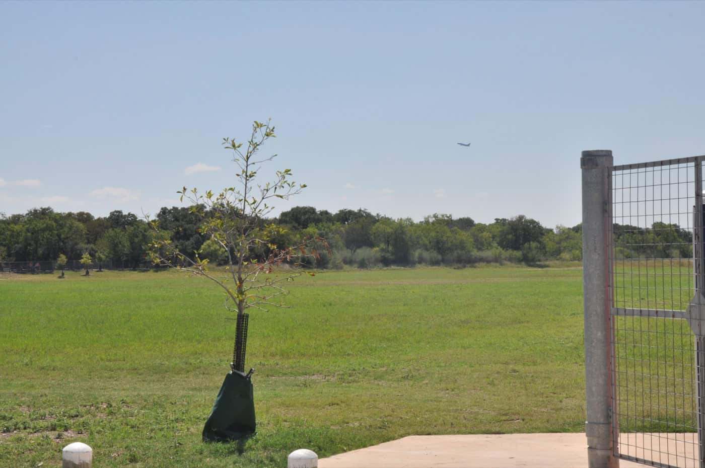
McAllister Park is on San Antonio’s north side, between Jones Maltsberger and Wetmore roads, about 13 miles from downtown. From downtown, take US 281 north for about 9 miles, exit to Wurzbach Parkway east, then turn left on Jones Maltsberger Road for about 1.5 miles to the main entrance at 13102 Jones Maltsberger Rd.
Drive times to the main entrance:
- Downtown San Antonio: about 20 minutes
- Austin: about 1 hour 30 minutes
- Houston: about 3 hours 40 minutes
- Dallas: about 4 hours 50 minutes
A few things to know before driving out:
- Two entrances: Jones Maltsberger Road leads to Turkey Roost, Al Becken and the ball fields. The Buckhorn Road entrance off Wurzbach Parkway (Starcrest on older City maps) leads to the dog park, pump tracks, The Grove and the greenway trailhead. Reviewers report losing time driving between the two sides
- Parking: the main lots fill on weekend mornings and during games
Know Before You Go
McAllister Park is a free City park with City rules, not a state park. These fees, rules and tips matter most.
- Fees and passes: the City lists no entry fee. It’s a City of San Antonio park, so the Texas State Parks Pass doesn’t apply. Pavilion rentals cost $15 to $30 an hour
- Booking: no reservation is needed to enter. Book pavilions online or by phone at least 2 days ahead; most City facilities can be booked up to a year out (City reservations)
- Hours: the park is open 5 a.m. to 11 p.m. daily, with a City curfew from 11 p.m. to 5 a.m. The greenway trails close at sunset
- Camping: none. The City sometimes lifts the curfew for holiday camping; at McAllister Park that happened for Easter 2026, April 2 to 5
- Swimming and fishing: City rules allow swimming only in City pools, and McAllister Park isn’t on the City’s list of fishing spots
- Dogs: on a leash at all times outside the dog park. Pack out waste bags
- Alcohol, glass and smoking: all prohibited
- Fires: only in the grills and barbecue pits
- Restrooms: at Pavilions 1, 2 and 4, the multipurpose fields and the pump track; none on the trails
- What to bring: water, insect repellent, a trail map on a phone and a light for anyone staying near dusk
Check conditions first: trails close when saturated after rain, and closures are posted on the City’s parks closures page. For questions, call 311 or (210) 207-6000, or the reservations line at (210) 207-7275.
Nearby Parks
Three other TrekTexas guides are within about an hour of McAllister Park.
- Government Canyon State Natural Area: about 26 miles west, a 13,000-acre natural area with more than 40 miles of trails and rockier riding
- Guadalupe River State Park: about 28 miles north, with river swimming, tubing and campsites
- Canyon Lake: about 36 miles northeast, with swim beaches and lakeside camping
- More parks within reach of San Antonio: Parks Near San Antonio
FAQ
Is McAllister Park free?
Yes. The City of San Antonio lists no entry fee; only pavilion rentals cost money.
Can visitors camp at McAllister Park?
Not usually. City parks close from 11 p.m. to 5 a.m., and camping is allowed only when the City lifts that curfew for set holidays such as Easter. Government Canyon and Guadalupe River State Park both have campsites.
Where is the McAllister Park trailhead?
The Salado Creek Greenway trailhead is at the Buckhorn Road lot by the dog park. For the dirt trails, many hikers also start at Turkey Roost Pavilion near the Jones Maltsberger Road entrance.
Is there a McAllister Park trail map?
Yes. The City’s trail map (PDF) shows the main trails, though it dates from 2012. The user-made MTB Project map shows more of the current singletrack.
Does McAllister Park have a pump track?
Yes. A pump track was built in 2022 by the multipurpose field off Buckhorn Road, and The Grove flow trail opened next to it in March 2026.
Sources and Official Links
Facts in this guide were last checked in October 2026 against these sources.
- McAllister Park (City of San Antonio)
- Park safety rules (City of San Antonio)
- Parks closures (City of San Antonio)
- Reservations and online booking (City of San Antonio)
- McAllister Park trail map (PDF) (City of San Antonio)
- Salado Creek Greenway (City of San Antonio)
- Dog parks (City of San Antonio)
- Friends of McAllister Park (volunteer nonprofit)
- The Grove opening (Community Impact, March 2026)
Featured photo: the McAllister Park Trailhead sign in 2012 (since replaced). Photo: Stillwaterising, Wikimedia Commons (CC BY-SA 3.0)
Get More Texas Outdoor Adventure Tips
Subscribe to get more places to explore in the great outdoors of Texas. We’ll never share your email. Unsubscribe any time.