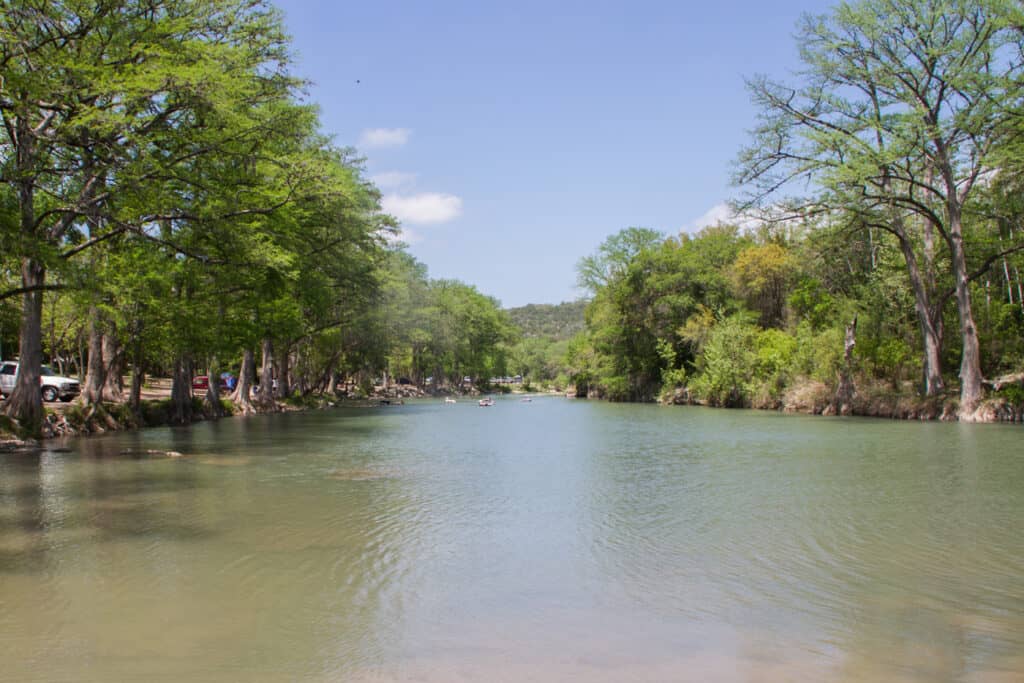
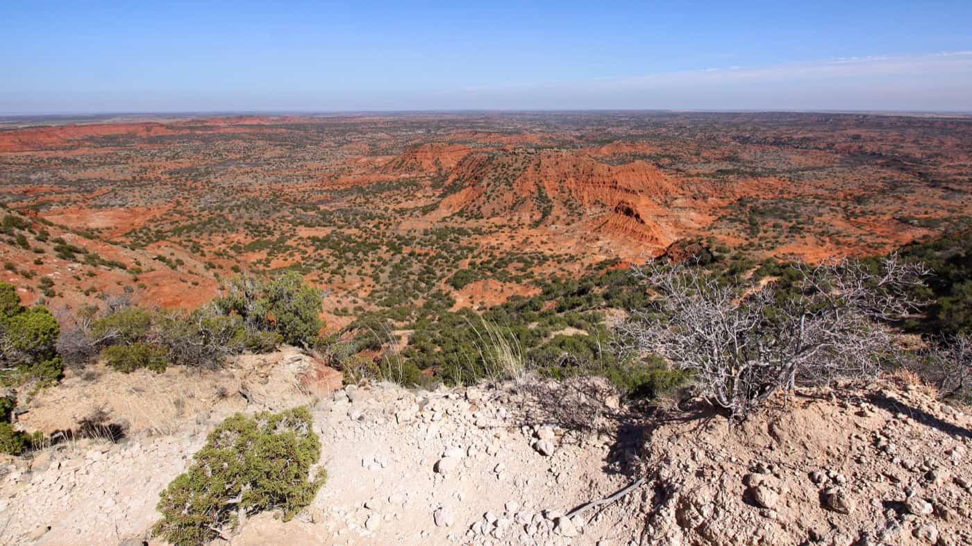
Caprock Canyons State Park & Trailway sits about 3 miles north of Quitaque in Briscoe County, in the Texas Panhandle, about 2 hours 15 minutes from Amarillo or Lubbock and about 6 hours from Dallas. It’s home to the free-roaming Texas State Bison Herd, red-rock canyon trails, Lake Theo and the 64-mile Texas State Parks Trailway. Lake Theo is low in 2026, so plan on trails and bison.
At a Glance
- Drive time: about 2¼ hrs from Amarillo, 6 from Dallas
- Entry fee: $5 adults; 12 and under free
- Hours: open daily; out by 10 p.m. unless camping
- Reservations: day pass advised; park often fills
- Dogs: yes, on a 6-foot leash; not in swim areas
- Swimming: Lake Theo low; swim area closed (April 2026)
- Camping: hookup, tent, primitive and horse sites
- Best time: spring and fall; summer can top 110°F
- Hunt closures: Dec. 7–11 and Dec. 14–23, 2026 (not Trailway)
- Cell signal: spotty to none in much of the park
- Run by: TPWD, (806) 455-1492
On This Page
- Seeing the Texas State Bison Herd
- Hiking Trails
- Mountain Biking and Horseback Riding
- Texas State Parks Trailway and Clarity Tunnel
- Lake Theo
- Camping
- Prairie Dogs, Wildlife and Dark Skies
- Best Time to Visit
- What Visitors Say
- Getting There
- Know Before You Go
- Nearby Parks
- FAQ
- Sources and Official Links
Seeing the Texas State Bison Herd
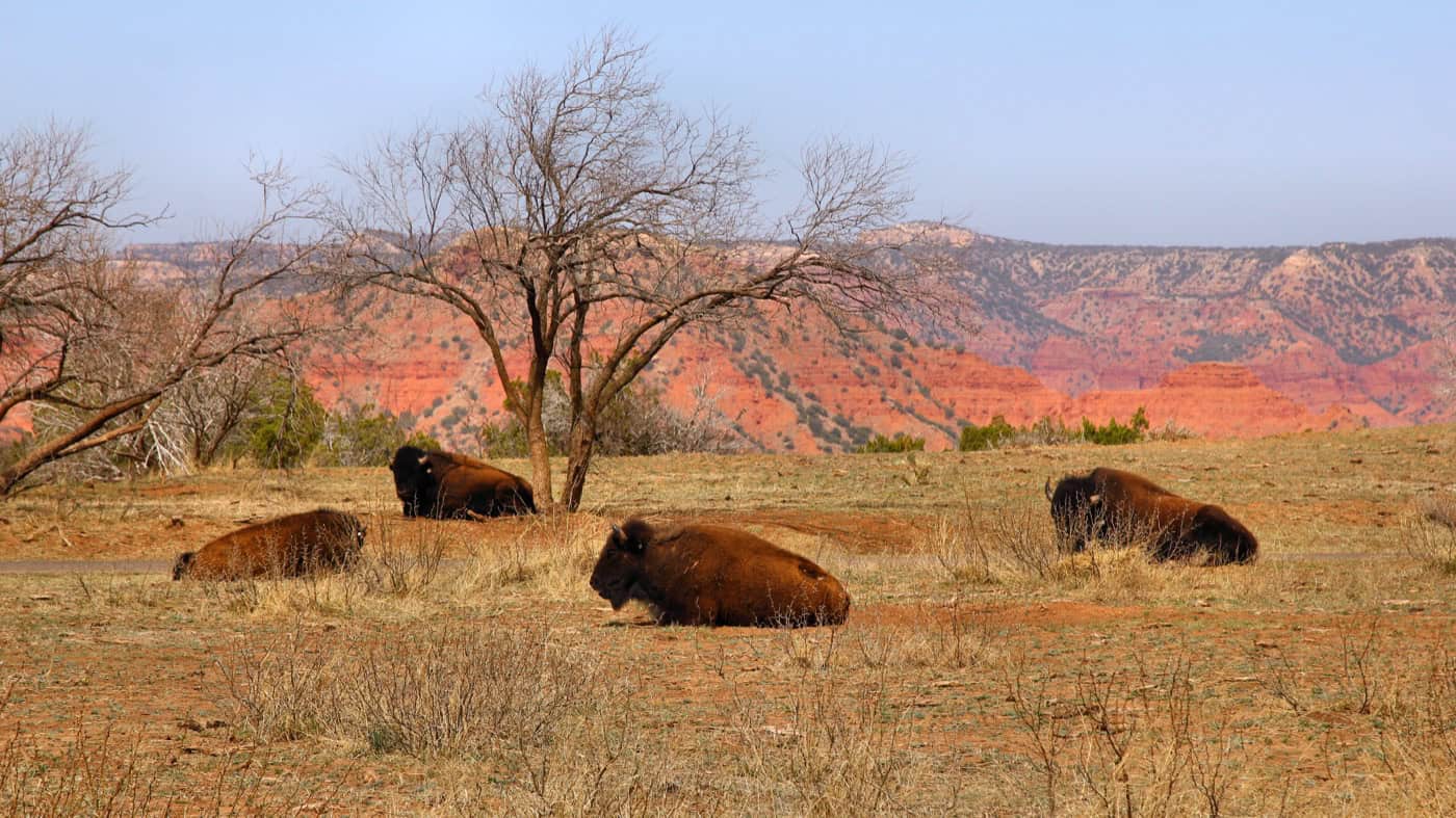
Bison are the main reason most people make the drive to Caprock Canyons State Park, and most visitors see them. The official Texas State Bison Herd roams free over more than 10,000 acres of the park.
Where the Herd Came From
The herd has a long Panhandle history.
- Charles and Mary Ann Goodnight started the herd in 1878 from orphaned calves on the JA Ranch
- It’s one of five foundation herds behind nearly all North American bison, and Texas Parks and Wildlife (TPWD) genetic testing suggests it may be the last group of southern plains bison
- The JA Ranch donated the remaining animals, about 50, to TPWD, and they moved to the park in 1997
- TPWD publishes no current count. Park staff told local news in March 2026 that the herd is over 300
Bison Rules
Bison are wild animals, and TPWD sets clear rules.
- Stay at least 50 yards away. TPWD’s “rule of thumb” check: at arm’s length, a raised thumb should cover the whole animal
- Bison have the right of way on park roads. Don’t honk at them, push through or tailgate
- Never surround, crowd, follow or feed a bison. Harassing or feeding wildlife is a Class C misdemeanor in Texas
- Leave the area if a bison raises its tail like a question mark, paws the ground or lowers its head
- The rut runs May through September. Never stand between a bull and the cows
Where to See Them
TPWD says the safest view is from a vehicle on the 5-mile scenic drive. TPWD also points to the bison overlook, which has exhibits, and the restored prairie near the visitor center.
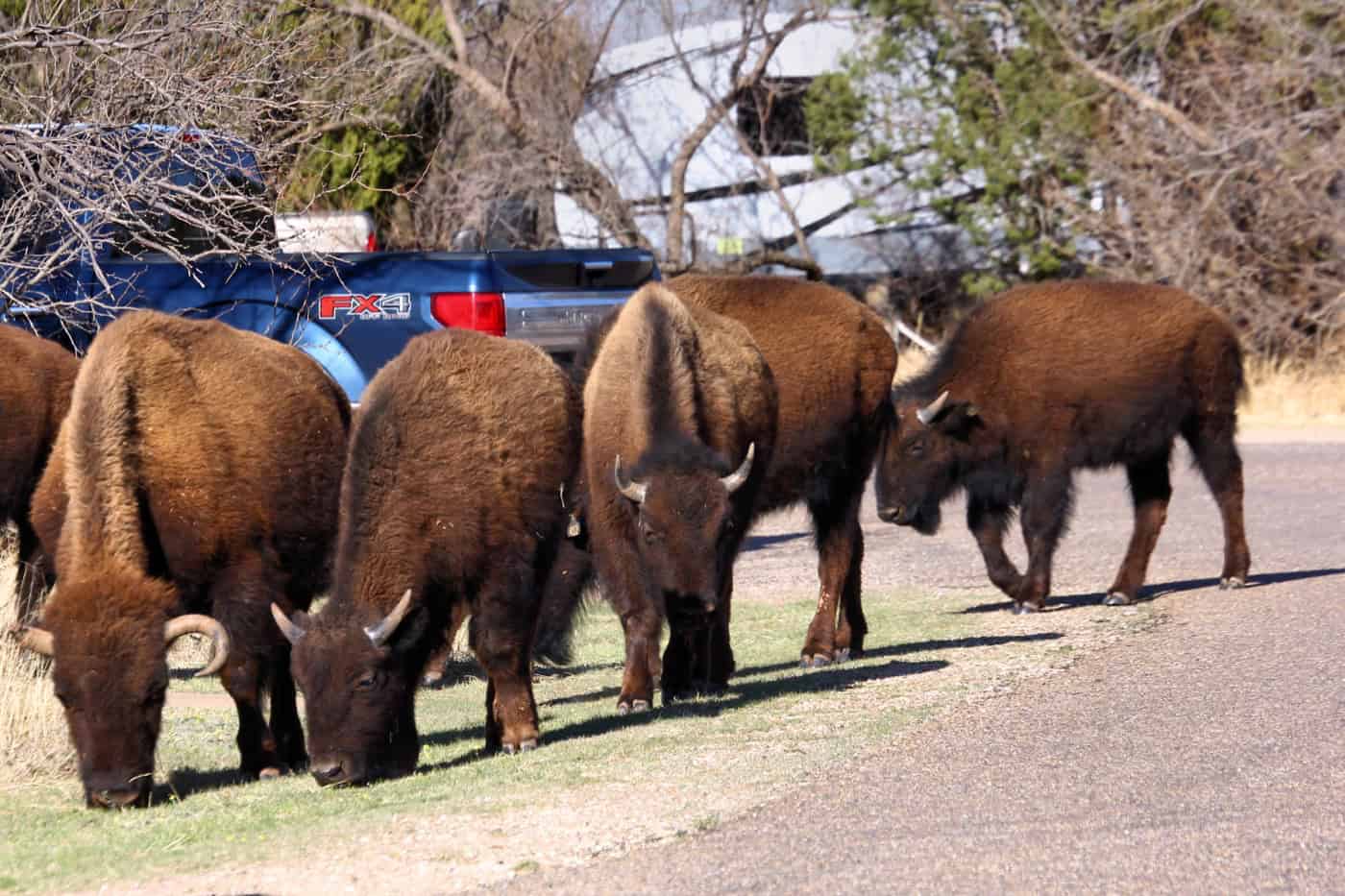
Visitors regularly report bison in the visitor center parking lot, on the road and walking through Honey Flat campsites. Early morning and sunset bring the most sightings; in summer heat the herd often stays up on the plains, away from the canyon trails.
Hiking Trails
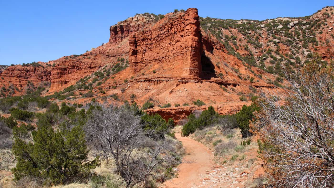
TPWD counts more than 25 miles of trails at Caprock Canyons State Park, and nearly 90 miles counting the Trailway. Trails range from easy walks to steep, loose climbs up the canyon walls, and most hikers find them harder than they look.
| Trail | Miles | Difficulty |
|---|---|---|
| Canyon Rim Trail (rim of Holmes Creek Canyon) | 3.0 | Moderate |
| Eagle Point Trail (crosses the Natural Bridge) | 2.0 | Moderate |
| Lower North Prong Trail (hikers and horses) | 2.9 | Moderate |
| Lower South Prong Trail (gypsum veins along the Little Red River) | 2.2 | Moderate |
| Mesa Trail | 3.1 round trip | Moderate |
| North Prong Spur (climbs “the saddle”) | 1.3 | Moderate |
| Old Ranch Road | 5.9 round trip | Moderate |
| Wild Horse Trail (into the Little Red River valley) | 2.3 | Moderate |
| Upper North Prong Trail (“Last Dance” hoodoo, Fern Cave springs) | 2.0 | Challenging |
| Upper South Prong Trail (rock fins, canyon views) | 2.6 | Challenging |
| Haynes Ridge Overlook Trail (the park’s most popular, 600-foot climb) | 2.3 | Very challenging |
Miles are one way unless marked, as TPWD lists them. The park map shows 2.5 miles for both Haynes Ridge and Upper North Prong. North Prong Spur leads to the primitive camping area and the Haynes Ridge and North Prong trails. TPWD notes the list may not include every trail.
Trail Tips
Hikers often link Haynes Ridge and Upper North Prong into a loop of about 7 miles. A few things make every trail here easier.
- Water: there’s no drinking water on the trails. The park map says to carry a gallon per person; the trail page suggests a quart per hour
- Shade: almost none. Start early, especially from May through September
- Footing: loose red dirt and rock make the climbs slippery. Off-trail hiking isn’t allowed
- Markings: reviewers are split. Some find the trails well marked, others lost the trail where it meets the road. Carry the park map and download an offline map, since cell service is spotty
- Storms: trails run through draws that flood; get to high ground when storms build
Mountain Biking and Horseback Riding
Most trails at Caprock Canyons State Park are open to mountain bikes and horses, but the park map marks Upper North Prong and Upper South Prong closed to both. TPWD says only experienced riders should take the harder trails, with their cliffs, drop-offs and steep climbs.
- Bikes: bring a bike and a helmet. TPWD lists no bike rentals at the park
- Horses: each horse needs proof of a negative Coggins test less than 12 months old, shown at park headquarters
- Easy riding: every Trailway segment is rated easy, which suits long bike rides (see Texas State Parks Trailway and Clarity Tunnel)
Texas State Parks Trailway and Clarity Tunnel
The Texas State Parks Trailway is a 64-mile rail trail on an old railroad line from South Plains, on top of the Caprock Escarpment, east to Estelline in the Red River valley. It’s part of Caprock Canyons State Park & Trailway, open to hikers, bikers and horseback riders, with no motor vehicles, and crosses 46 bridges along the way.
Trailway Segments
Six segments, all rated easy, run 5 to 17.5 miles each. The 17.5-mile Quitaque Canyon Trail (South Plains to Monk’s Crossing) passes Clarity Tunnel, and the 5-mile Los Lingos Trail (Monk’s Crossing to Quitaque Depot) is the shortest. The rest run 10 to 12 miles east through Turkey, Tampico Siding and Parnell Station to Estelline.
Clarity Tunnel and the Bats
Clarity Tunnel is the best-known stop on the Trailway.
- The 742-foot tunnel is one of the last active railroad tunnels in Texas and has been on the National Register of Historic Places since 1977
- It’s 4.5 miles west of the Monk’s Crossing trailhead, a 9-mile round trip
- Up to half a million Mexican free-tailed bats spend the summer there, with the biggest numbers from April through October
- TPWD suggests watching the bats fly out at sunset in summer. Wear long sleeves and a hat through the tunnel, and never pick up a bat
- Ranger-led bat programs run in bat season; check the park’s events page for dates
Planning a Trailway Trip
The Trailway is remote, so plan ahead.
- The closest access to the main park is at Quitaque, about 3 miles south
- There’s no water anywhere on the Trailway. Carry all water and supplies
- Expect remote sections, limited cell service, falling rocks and rattlesnakes, and don’t travel alone
- Pay the entry fee at self-pay stations at the South Plains, Monk’s Crossing, Quitaque Depot and Turkey Depot trailheads, or at park headquarters
- The Trailway stays open during the December hunts that close the main park
Lake Theo
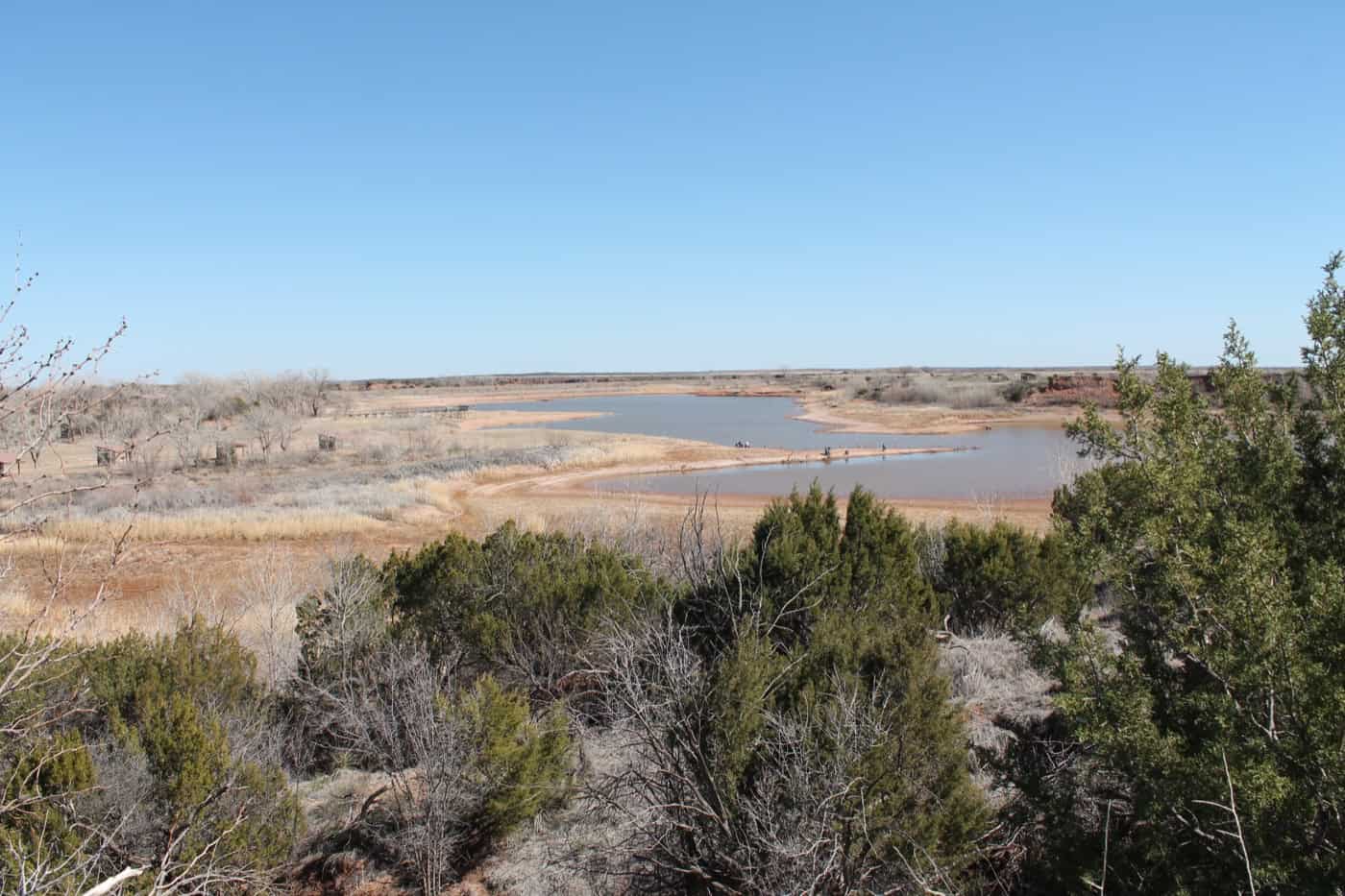
Lake Theo is a 120-acre lake on Holmes Creek at Caprock Canyons State Park, set up for swimming, fishing and no-wake boating. In 2026 it’s running very low: since April, TPWD has closed the boat ramp, fishing pier and swimming area, and visitors describe the lake as low or nearly dry from June through October.
- Swimming: still allowed in other parts of the lake, at the swimmer’s own risk. There are no lifeguards at Texas state parks, and pets and glass aren’t allowed in swimming areas
- Fishing: no fishing license is needed inside a state park. Borrow a fishing pole at headquarters; bait isn’t provided
- Paddling: no-wake boating only, with no rentals. With the ramp closed and the water low, it’s a poor bet until the lake recovers
Camping
Camping at Caprock Canyons State Park ranges from hookup sites with showers to primitive sites, which have no water, electricity or restrooms and are usually reached on foot. There are no cabins.
Campsite Types
Campsite fees, listed on TPWD’s campsites page, are charged on top of the daily entry fee.
- Honey Flat, water and electric (35 sites, $17 to $22): back-in sites, 10 with 50-amp power ($22 a night) and 25 with 30-amp ($17). Each has a picnic table, fire ring and shade shelter. These are the park’s only showers, and the dump station is nearby
- Lake Theo walk-in (9 sites, $14): water nearby, about 200 yards from parking. Walk-in sites are tent sites a short walk from the car
- Little Red Tent Camping Area (10 sites, $14): primitive walk-in tent sites, 10 to 30 yards from parking, with covered picnic tables and a toilet but no water or showers
- South Prong Tent Camping Area (20 to 30 sites, $12): primitive walk-in tent sites, 10 to 30 yards from parking, with toilets but no water or showers. TPWD’s campsite page lists 30 sites; the park map numbers 20
- North Prong and South Prong hike-in primitive areas (16 sites, $12): about a mile up the trail, up to 4 people. No water, no ground fires; containerized fuel stoves are fine. Staff assign the site at check-in
- Wild Horse equestrian area (12 sites, $14): two corrals each, water for horses only, no electricity and no restrooms
- Trailway ($12): primitive camping anywhere along the Trailway, at least 1/4 mile from trailheads and Clarity Tunnel. No water, no campfires; get the permit from the main park
Reservations and Camp Rules
Most sites book through Texas State Parks reservations.
- Reserve most sites up to 5 months ahead online or by phone at (512) 389-8900
- Check-in is 2 p.m. and check-out is noon
- Late arrivals pay at the self-pay station at headquarters and register by 9 a.m.
- Don’t gather firewood, and keep alcohol out of public view
- Lock up food and trash: campers report raccoons getting into everything
Prairie Dogs, Wildlife and Dark Skies
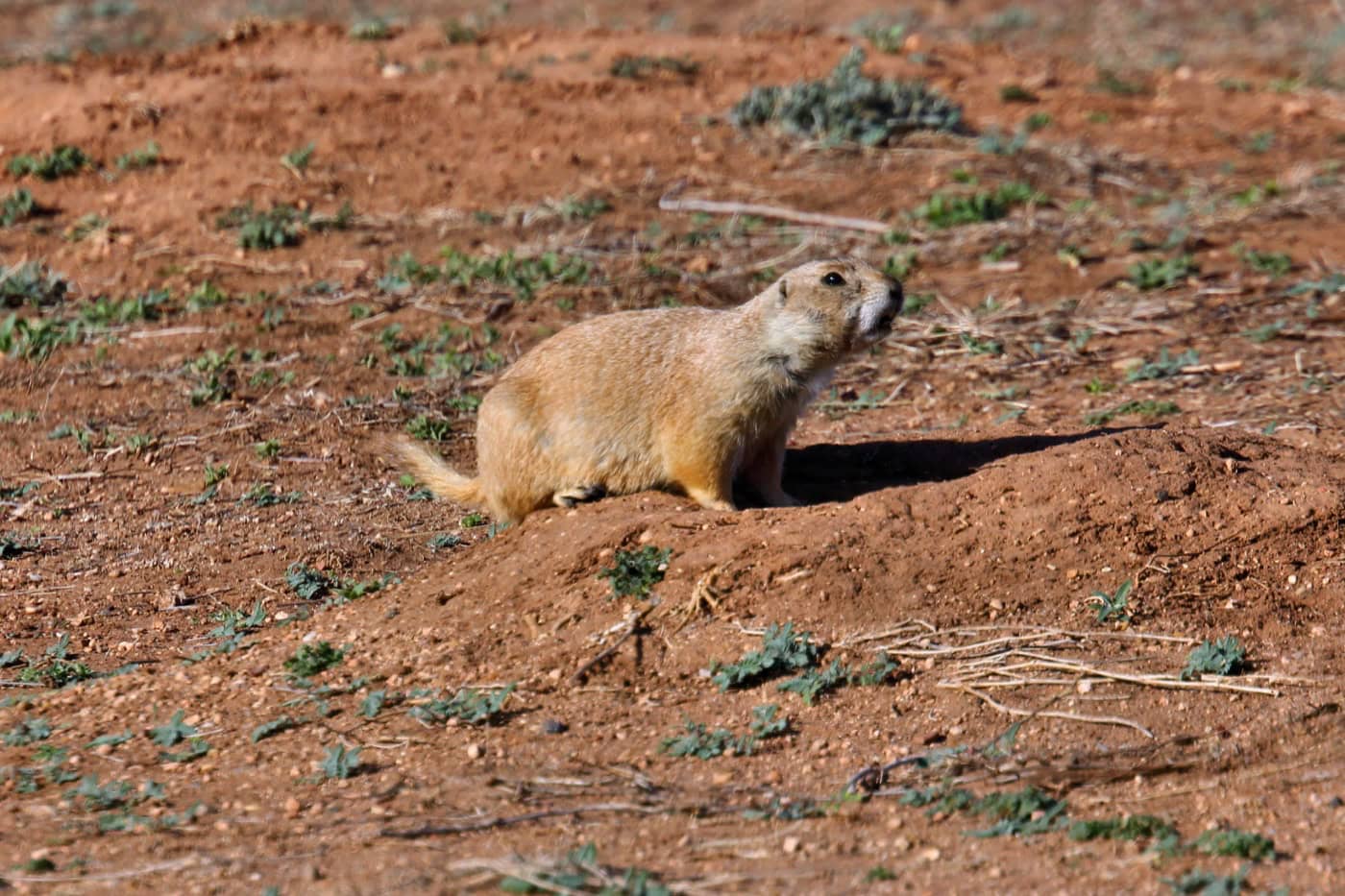
A black-tailed prairie dog town sits next to Honey Flat campground at Caprock Canyons State Park, with a concrete path through it from the Honey Flat restrooms. Visitors often spot burrowing owls there too. Drive slowly through this stretch, since prairie dogs cross the road.
- Other wildlife: mule deer, white-tailed deer, coyotes, bobcats and a few pronghorn, plus about 175 bird species, including roadrunners and the rare golden eagle
- Snakes: more than 30 species, including prairie rattlesnakes
- Night sky: Caprock Canyons became an International Dark Sky Park in January 2026, the fifth Texas state park with the designation. Clear nights show the Milky Way, and the park holds star parties
- Programs: ranger talks, summer van tours and “Coffee with the Bison” mornings appear on the events calendar
Best Time to Visit
Spring and fall bring the best hiking weather at Caprock Canyons State Park, and visitors praise late February through mid-May most. Bison calves usually arrive from March to May.
- Spring (late February to May): the best-reviewed season, with bison calves from March to May
- Summer (June to August): the air can top 110°F, with ground temperatures of 130 to 140°F. Many summer visitors take the scenic drive instead of long hikes, and horseflies bite in hot months
- Fall (September to November): good hiking weather. From Nov. 13 to 29, the East Pasture and Old Ranch Road Trail close for hunts
- Winter (December to February): the average January low is 19°F, and snow is possible. December public hunts close the whole park except the Trailway on set dates (see Know Before You Go)
- Crowds: weekday mornings are very quiet, but TPWD says the park often fills in spring, summer and fall, so reserve ahead
What Visitors Say
Google reviews of Caprock Canyons State Park from the last two years average 4.8 stars. Bison come up in more reviews than anything else, followed by the trails, the staff and the night sky.
- Bison up close: bison block the road, lie between RV sites and stand beside tents, and most visitors treat the jams as part of the trip. A few hikers had to pass bison on the trail; no injuries were reported
- Harder hikes than expected: fit hikers call Haynes Ridge a serious workout, and families found Fern Cave longer than planned
- Heat and no shade: the most common practical complaint, with reports of 105 to 112°F in July and August
- Honey Flat restrooms: the main complaint from fall 2025 through October 2026: no hot water, dark showers and stalls not cleaned. TPWD’s own alert confirms there’s no hot water at the Honey Flat shower. Bring a headlamp
- Staff: among the most praised parts of a visit
- Quiet and remote: many reviewers prefer it to Palo Duro for fewer people and more wildlife
Getting There
Caprock Canyons State Park & Trailway is at 850 State Park Rd., Quitaque, TX 79255, in Briscoe County, about 3 miles north of Quitaque. Paved roads go all the way in.
Drive times to the park:
- Amarillo: about 2 hours 15 minutes
- Lubbock: about 2 hours 15 minutes
- Dallas: about 6 hours
- Austin: about 8 hours
- San Antonio: about 8 hours
- Houston: about 10 hours
A few things to know before driving out:
- Supplies: Quitaque has limited groceries, so stock up before arriving
- Maps: cell service is spotty to none in much of the park, so download an offline map first
Know Before You Go
Caprock Canyons State Park is remote, hot and home to wild bison. These fees, rules and tips matter most.
- Fees and passes: $5 a day for adults 13 and older; children 12 and under get in free. The Texas State Parks Pass ($70 a year) covers entry
- Booking: day passes can be bought up to 30 days ahead, and TPWD recommends one because the park often fills. Most campsites open 5 months ahead, online or at (512) 389-8900
- Hours: the park is open daily, and guests leave by 10 p.m. unless camping. The headquarters office is open 8:30 a.m. to 5 p.m. and closes from noon to 1 p.m.
- Hunts: in December 2026, public hunts close the whole park except the Trailway from 4 p.m. Dec. 7 to 2 p.m. Dec. 11 and from 4 p.m. Dec. 14 to 2 p.m. Dec. 23. From Nov. 13 to 29, only the East Pasture and Old Ranch Road Trail close
- Dogs: leashed (6 feet or shorter); not in buildings or swimming areas
- Water: no drinking water on trails or the Trailway; carry a gallon per person. A TPWD advisory reports high nitrate levels in park water, so infants under 6 months, pregnant women and anyone with health concerns should bring their own (boiling doesn’t remove nitrates)
- Shade: almost none on trails. Honey Flat and Lake Theo sites have shade shelters
- Difficulty: easy on the Trailway and Mesa Trail; very challenging on Haynes Ridge and the Upper Prong trails
- Bison: stay at least 50 yards away, and never feed or approach them
- Accessibility: accessible visitor center, pavilions and amphitheater; no accessible overnight sites
- Maps: park map and Trailway map (TPWD PDFs)
- What to bring: a gallon of water per person, a headlamp for the Honey Flat showers, an offline map, and long sleeves and a hat for Clarity Tunnel
Check conditions first: lake closures, hunts and water advisories change through the year. Check the Caprock Canyons park alerts page or call (806) 455-1492 before driving out.
Nearby Parks
Three other TrekTexas guides are within about 3 hours of Caprock Canyons State Park.
- Palo Duro Canyon State Park: about 2.5 hours northwest by road; many visitors pair the two canyons on one trip
- Copper Breaks State Park: about 2 hours 20 minutes east
- Lake Meredith National Recreation Area: about 3 hours north
- More guides: all TrekTexas parks
FAQ
Is Caprock Canyons better than Palo Duro Canyon?
Caprock Canyons is smaller, quieter and has the free-roaming bison herd, while some visitors find Palo Duro’s facilities more developed. The two parks are about 2.5 hours apart, so many trips include both.
Are there cabins at Caprock Canyons State Park?
No. The park has no cabins or screened shelters, so overnight stays mean camping or lodging in nearby towns.
Where is the Natural Bridge at Caprock Canyons?
The Natural Bridge is on the Eagle Point Trail, a moderate 2-mile trail (one way) through the canyon.
Sources and Official Links
Facts in this guide were last checked in October 2026 against these sources.
- Caprock Canyons State Park & Trailway (TPWD)
- Entrance fees (TPWD)
- Campsites (TPWD)
- Trail list, park map (PDF) and Trailway map (PDF) (TPWD)
- Texas State Parks Trailway (TPWD)
- Texas State Bison Herd (TPWD)
- Park alerts and events (TPWD)
- Texas State Parks reservations
Featured photo: Larry D. Moore, Wikimedia Commons (CC BY 4.0)
Get More Texas Outdoor Adventure Tips
Subscribe to get more places to explore in the great outdoors of Texas. We’ll never share your email. Unsubscribe any time.